The Captain
Livermore, N.H.
June 30th, 2018
 |
| The majestic Captain, shortly after sunrise. |
Getting there:
The first picture above is The Captain, a magnificent and remote crag, from the mid-section of the Climbers Camp slide, positioned at roughly position #1 on the picture immediately below.
I attempted this summit last December with Thomas Becker, on a -10 degree backpacking trip. We made it to the base of the final ascent but decided to bail for safety. Looking back on that frigid attempt, I now realize we never would've reached the summit that day.
On this trip, with near-perfect conditions, The Captain took 10 and a half hours of heavy bushwhacking.5 hours alone were spent reaching the summit.
My previous post from last December goes into great detail as to how to get to the Captain. My intention with this post is to continue the story so to speak, by filling in the blanks from where Tom and I decided to turn back.
I'm going to divide this blog into numerical sections based upon the labelled picture directly above. Within each section I will place pictures and videos that will hopefully bring a clearer understanding as to how rugged and challenging this terrain is.
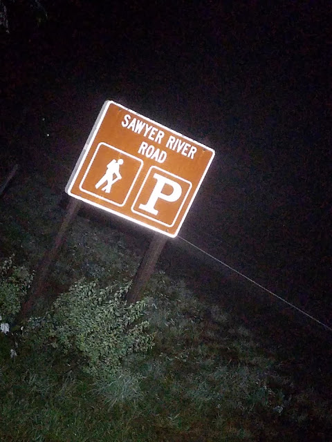
I began to ride my mountain bike at 2:28 am, gradually ascending the now closed Sawyer River Road. By 3:23 am, I reached the North Fork split, which leads right off of Sawyer River Road deep into the valley that holds The Captain. At 3:58am, well before first light, I began the bushwhack. Sometime just after sunrise I randomly stumbled upon the Climber's Slide and took the picture you see above.
I reached the summit of The Captain by 9:46 am, just as the 95 degree sun of the day broke over Signal Ridge. I made it back to my van by 12:53 pm, scratched, bruised, dehydrated and exhausted.... but pumped!!!!
I had just pulled of a solo, single day Captain.
BOOM!!!!!
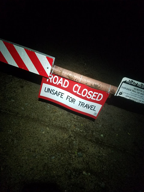 |
| 'UNSAFE' is a relative term. |
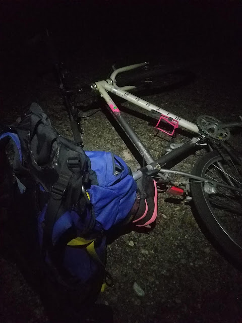 |
| My UBER for the day. |
 |
| Shortly after the gated end of Sawyer River Road, from Rt. 302, one will find the cutoff to Sawyer River Pond Trail. After this cutoff, the road splits at FR-86, otherwise known as 'The North Fork.' |
 |
| To the right lies 2 miles of overgrown, tick-infested grass.... Well, I guess it has to be done! |
 |
| I drop the bike and begin in on foot. The path is fairly easy to follow, then becomes progressively denser and difficult to flush out. |
 |
| I pass the Winter fire-pit that Tom Becker and I had last December, during our overnight Winter attempt of The Captain. |
 |
| At first light, after carefully navigating through old climber's trails and herd-paths, I finally see her! |
#1: 'THE CLIMBER'S SLIDE'
I actually stumbled out onto the middle of the Climber's slide quite by accident. I planned to do this trip relying solely on a topo map, compass and my experience. And that's what I did. I was hoping that was enough, and in retrospect that trinity served me well. I do plan to purchase a legit source for altimetric information, but with enough planning I'm good for the time-being. Trips like this are all about the planning. One must have a plan B and C, and perhaps even a plan D.
Back to the slide.... After reaching the slide I was pumped. I planned this trip with input from several top-tier hikers. Without their input I wouldn't have been able to pull this off solo in a single day. Mark Alan Christi, Dan McGuinness, Mike Mcglaughlin all had incredible spot on input. THANK YOU!
 |
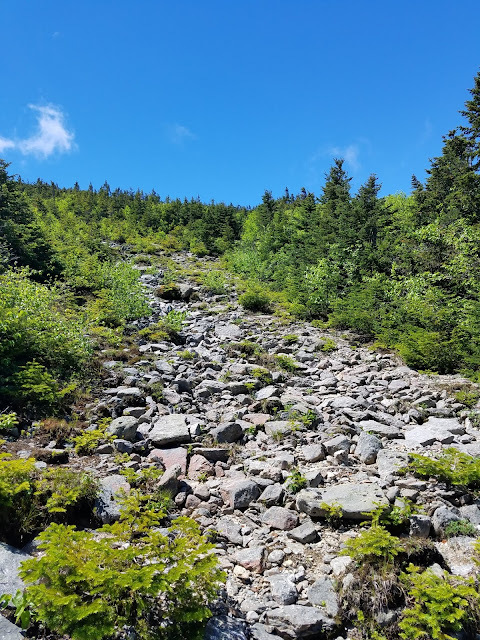
| The view of The Captain from the mid-point of the Climber's Slide. |
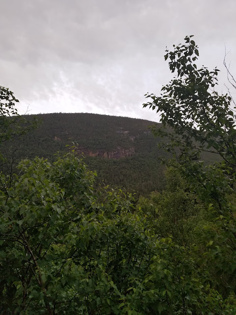 |
| The Eastern aspect of the Hancocks is painted with massive red cliffs. |
#3: 'THE GORGE'
Dan and MAC warned me outright about the giant gorge that followed the slide as one progresses toward The Captain. Hit it I did! Instead of descending at the Gorge to find a way across, I stubbornly decided to blaze new ground and ascend.
I ascended for quite some time through brutal new scrub, over slippery and steep boulders, with the haunting 100 foot drop ever to my left. At point #3 on the map above, I finally found a passage across the Gorge with shorter heights to figure out. 30 feet was much more palatable than 100!
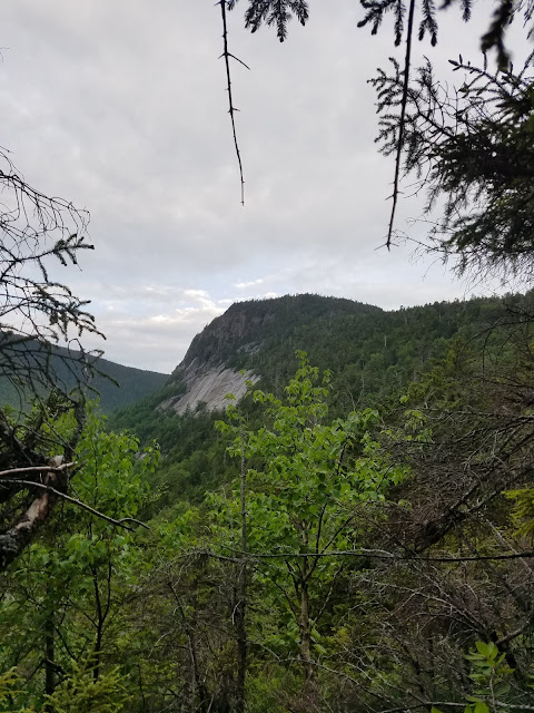 |
| The Captain as viewed near the top of the massive Gorge running directly up an arm to Carrigain. |
 |
| The partially-optimistic face. |
#4: "BOULDERS AND BLOWDOWNS"
After leaving the Gorge, I gradually continued my ascent upward, shading ever so gradually to the left, anticipating a flattening as I approached to col between The Captain and Carrigain. As I continued on, massive boulders appeared, forcing me to redirect my path on several occasions. The boulders were easy enough to manage. It was the sea of blowbowns that would became the hardest challenge of the day.
Many of us have experienced the occasional blowdown that blocks your path as you hike along a trail. A few of us have experienced a 1/4 mile of blowdowns, completely covering a trail, throwing you completely off course. Now imagine a football field full of blowdowns, resting 8-10 feet above the ground, so thick that you can walk across them as if they were a network of bridges.
The section of blowdowns at #4 on the map above was MASSIVE and never ending. To make things more complicated, you couldn't tell which of the blowdowns would hold your weight, from those of which would snap, sending you 10 feet down into the new growth underneath.
Crawling under this sea of blowdowns was not an option. As I had mentioned, the under-belly of this section was full of new growth pine that was nearly impenetrable.
I took my chances above and gradually made my way up and left. This section was where I made my biggest error of the day. In retrospect, looking at the Google Earth image, I had reached the col. If I had simply traversed straight to my left, maintaining a hard line without ascending, I would've reached the summit of The Captain earlier. Alas, I continued shading left and upward, overshooting the Captain by perhaps 1/4 to a half mile.
As I kept ascending in the wrong direction, I was actually ascending toward Carrigain. Many people have told me how brutal the approach is from Carrigain to The Captain is. I disagree. It was fairly open, with clear herd-paths throughout.
I was completely aware of my situation, and ready to stay the night if need be, but I was confident in my plan. I would continue upward, giving myself 2-3 false peaks at the most before I began my backtrack. 3 false summits later I decided to turn back. It was painfully obvious that I overshot the col and was climbing my way toward Carrigain.
I turned back, and began a painful debate as to what my next move was. Do I bail, and accept failed attempt number two, or do I try to go right and see if I can find some obvious landmarks such as Carrigain Pond. It was getting late in the morning and I didn't want to get stuck in the day's heat. The forecast was calling for 95 degrees. Not good.
After carefully calculating my options I decided to descend, gradually shading right toward what I would hope would be the true col toward The Captain's summit.
 |
| The first massive boulder after successfully finding a way across the Gorge. |
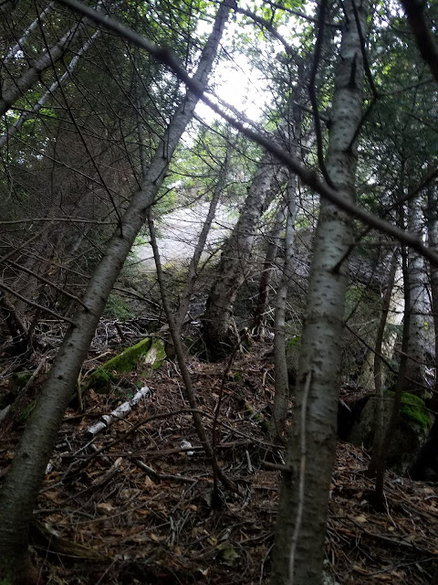 |
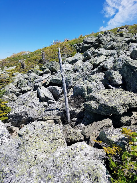
| And another massive boulder. When objects like this present themselves, the only option is to keep moving. Onward and Upward, finding the safest alternate route. |
I took one picture of the moment when I noticed Carrigain Pond below me. At least I thought I took that picture. I never did. MIA.
As I descended down from the arm of Carrigain I did eventually spot Carrigain Pond through the dense vegetation. I decided to continue downward for perhaps 20 minutes hoping to see the summit of The Captain. Initially I spotted the cliffs on the Eastern side of the Hancocks. At first I though that was The Captain but I was mistaken.
I continued on further, dropping another 100-200 feet, becoming more suspicious of my destination. I soon realized that the summit ahead was a lower knob of the Hancocks. I then decided to adjust my bearing hard left, or south, in an attempt to maintain elevation should I spy the true destination. And that I did. One vantage opened up allowing me to clearly see the Pond contrasted with the actual summit of The Captain. I was finally on my way. My partially-optimistic face became fully optimistic.....but now the race against the sun began.
#7: CAPTAIN-CARRIGAIN COL TO THE SUMMIT
I successfully found the true col resting between Carrigain and The Captain. It was muddy, thick (no surprise) and hot as hell. I found the adrenaline to push me forward. After all, it was RIGHT THERE!!! The ascent to the Captain was brutal!!!! Steep, relelntless and thick with razor sharp dead-wood.
The sun rose above Carrigain. Immediately the temperature rose 15 degrees. It was a scortcher. I still had 2 liters of water to use. I gulped most of what I had for water at this point, leaving half a liter for the descent. This was a safe call knowing how abundant the water was below the summit.
When I finally reached the summit, I was so relieved. It took 2 attempts to reach this crazy place. I felt bad for anyone else who would attempt it in the future. As for me, I already couldn't wait to get back here with my hike tribe....those who would truly appreciate this insane place. Yes, insane!!!!
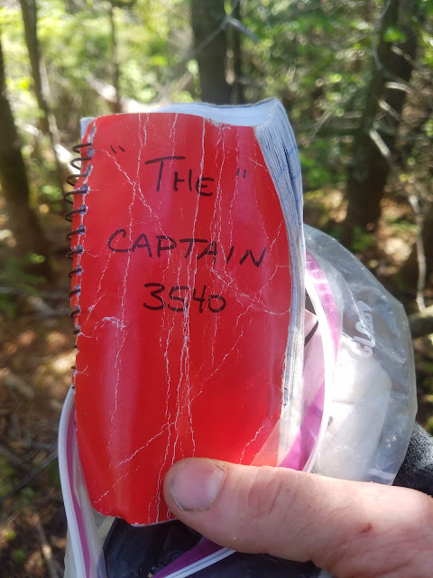
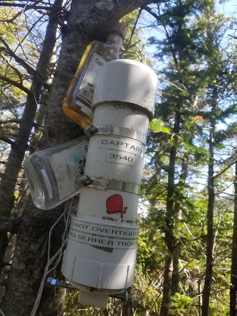
I didn't stay too long.....just long enough for a kick-ass shot of Captain Morgan, to sign the ledger, wear the canister patch, and fly the flag of Baha, a much-loved figure within the hiking community. I left the flag in the canister, thinking it would be fine due to the few, if any, visitors that actually step upon this summit.
 |
| The last 1/4 mile. Summit ahead. |
 |
| The 3/4 optimistic face. |
 |
| Finally!!!! Time for a sip from the pint of Captain that I carried along just for this amazing moment!!! |
 | |
| Inside the Captain's summit canister you will find a log book and several patches. |
 |
| The summit of the Captain is one of the few open places of the entire trip! |
 |
| "I'm the Captain now!" (repeat with a Somali accent) |
 |
| This one is for BAHA. R.I.P. |
#8: SUMMIT VANTAGE
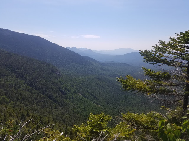
Several minutes below the actual summit of The Captain, a cliff presents itself with amazing views of the south, the path I came in. One can view the Sandwich Range in all of it's mystery. I've always had weird vibes when I've hiked through Sandwich.
#9: THE 'CLIMBER'S CAMP'
The 'Climber's Camp' as I've come to know it, is essentially the flat bottom of a slide, and a drainage or two. It's an amazing spot that opens up just enough to spot the Captain and col leading up to Carrigain. There is a firepit as well as stone benches to sit on. It's probably not the best place to camp if rain is in the forecast!!!!! Be warned.......
I missed the camp on the way in, but after finding it on the way out, it all made sense. The key to the region below the base of the Captain is the drainage system. As you approach The Captain, be sure to pay close attention the where the drainages lead, for they often lead directly to major landmarks, including the slide and camp.
As I made my way down from The Captain's summit, I found a few of these drainages and decided to follow them, if not to have just a brief respite from the relentless vegetation. I crossed and followed 2 drainages which ultimately led me to the Climber's Camp, then subsequently to the herd path/Climber's Trail leading straight back to my bike.
 |
| An amazing place to backpack! The traditional Climber's Camp below The Captain. |
 |
| The Captain, as viewed from the Climber's Camp. |
 |
| The Captain will always have my heart. It's a magical, remote, and dangerous place. I hope to return again. Anyone want a guide? |
THE QUICK WAY OUT!
 |
| 12 hours later....right where I left it! #remote |
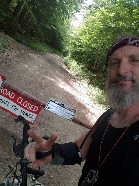 |
| Mission accomplished |


