Mt. Waternomee 1942 B-18 Crash-Site.
Bushwhack Report 6-1-17
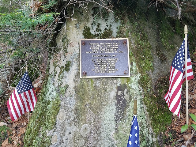
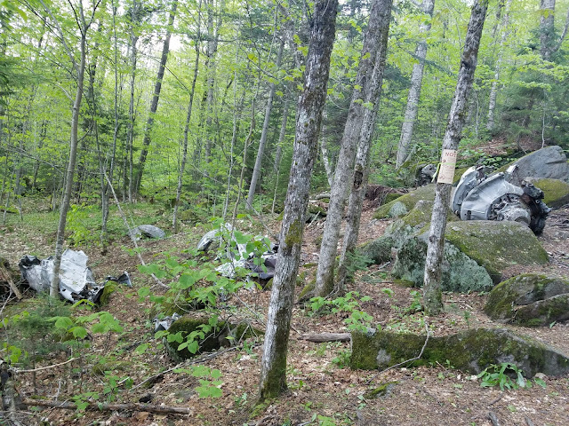
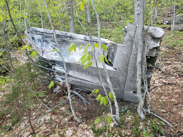
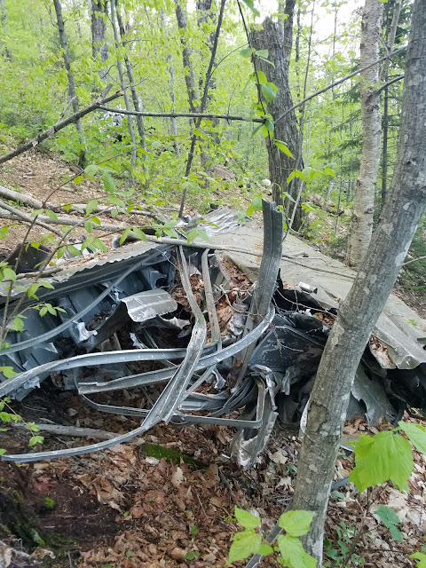
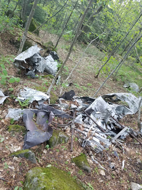
Resting peacefully on the eastern slope of Mt. Waternomee, a 2535 foot mountain located in Woodstock, NH, lies the wreckage of historic plane crash dating back to January 14, 1942.
On their way back from Pearl Harbor, the crew of 7 lost their bearing in inclement, snowy weather. The Douglas B-18 struck the side of Waternomee, killing most of the crew. Miraculously, Lt. Fletcher Craig survived the crash. Lt. Craig would live a long life, continuing his already heroic service for our country. Lt. Craig passed in 2008.
Donna Horne O'Haire, in her short book 'Snow, Movie Stars, and Short-Wave Radios' succinctly wrote that the town of Woodstock "wanted to get a hold of Roland Peabody, who ran the [Cannon] Tramway. The ski patrol walked in[to the crash]. There were three survivors. It was wintertime and it was snowy and cold."
I'm not a historian. I only play one on T.V.; For a riveting historically accurate account of this crash, I highly suggest reading the account presented by the New England Historical Society account at:
The WWII Bomber that crashed in New Hampshire
A brief and beautiful 6 mile trek brings you to the crash-site. Drive to Walker Brook Rd., the first gated forest road on the right, as you head southeast on rt. 188, Woodstock, NH.
 |
| This bushwhack was inspired by a one-of-a kind woman, with the greatest stories I've ever heard...Donna Horne O'Haire. |
 |
| Donna's book is a quick but fascinating read. It provides a window into a simpler but very complicated time in American history. |
 |
| White star of the Army Air Corp | |
|
 |
| Follow Walker Brook Rd. until it ends in a circular field. Approx 1.4 miles. |
 |
| Walker Brook Rd. is a beautiful stretch of land. Very dense,wet, and rarely traveled. |
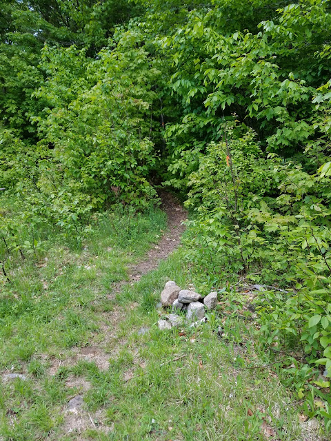 |
| This small duck-cairn marks the start of the bushwhack. It can be located at the 1:00 position in the field at the end of Walker Brook Rd. |
 |
| The lower third of the bushwhack is marked by occasional pieces of flagging tape, and tin tree signs. The 'trail' is essentially an unmaintained trail at this point. A sufficient amount of interest in the wreckage has kept a rough trail alive. All you need to do is pay attention. |
 |
| The one and only river crossing proved to be the point of confusion on the return trip. Pay close attention to the switchback on the other side of this crossing. As I descended from the B-18 site I was thrown off course just before the crossing. I missed the hard left of the switchback in the dim light. |
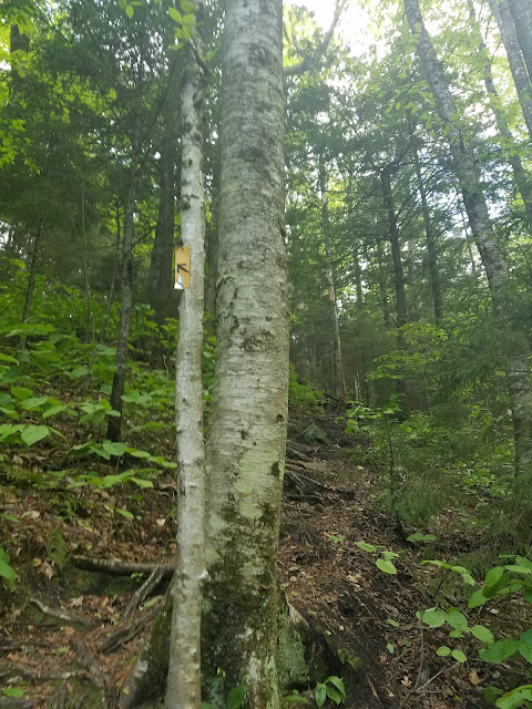 |
| The ascent just after the river crossing. |
 |
| Walker Brook Falls. An amazing waterfall just off the trail by a hundred yards or so as you ascend to the crash site. |
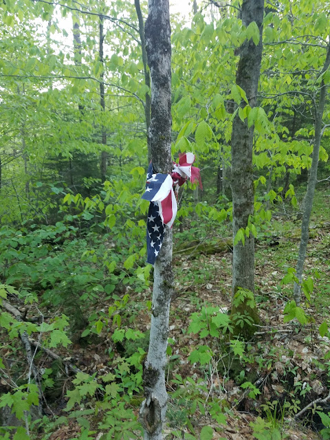 |
| Getting closer. The somber feeling that you get as you slowly ascend to the crash-site is at times overwhelming. This Americana bow marks the beginning of the historic crash site. |
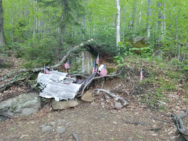 |
| Memorial honoring the victims of the crash. |






No comments:
Post a Comment