Fisher Mountain
Millbrook Road, Thornton, N.H.
5-2-18
 |
| Southern view from Fischer's lower ledges. |
The 411:
Fischer Mountain is situated just to the northwest of Dickey Mountain, and south of Hogback Mountain. From Dickey, Fischer's sprawling ledges can observed easily. The summit measures in at 2609 feet. Fine views of Franconia Ridge, the Sandwich Range, Tecumseh, Cone Mountain, and Mt. Moosilauke can be had from this partially wooded summit.
I had to write about this brief hike in greater detail because it was awesome!. I'd heard about how cool this trip was from several hikers recently.
In my opinion, it's everything that the Welch-Dickey Loop is, but on steroids. The ledges are massive. The views are spectacular. It's a harder trail to navigate due to the lack of trail maintenance, but dull red, blue and yellow blazes can be found occasionally if you're paying attention. I'm guessing this is in the abandoned trail category. And, as an added bonus, there are no swarms of people!!!!!!
Getting To The Trailhead:
Fischer is located within Thornton, New Hampshire. Heading north on rt. 93, take exit 28 toward Waterville Valley. This is rt. 49. At the first set of lights, take a left onto rt. 175. Millbrook Rd. will be on your right after several miles. Millbrook Rd itself is stunning.....
 |
| Dickey-Cone Notch, from Millbrook Rd. |
 |
| Millbrook Rd. is incredibly scenic! |
Follow Millbrook Rd. 4 miles in until you see a gated fire-road tucked in on your left. This is the starting point. If you miss the fire-road, you will quickly come upon a dead-end roundabout in about a 1/4 mile.
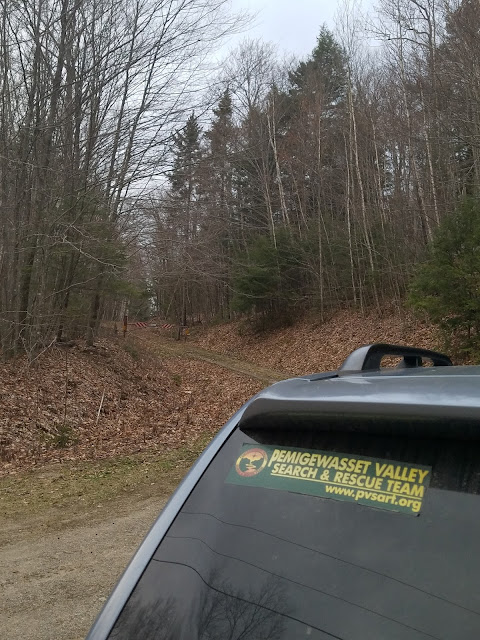 |
| The fireroad entry to Fischer. |
Getting To The Summit:
From the gait, follow the gently ascending road for perhaps a 1/4 mile until you arrive at a fork. Bear right. You will follow this new road for approx 1-1.5 miles until a small vacant lot will appear on the left. At the entry of the lot, to the right, the road continues sharply down to the right toward a river and likely overpass.
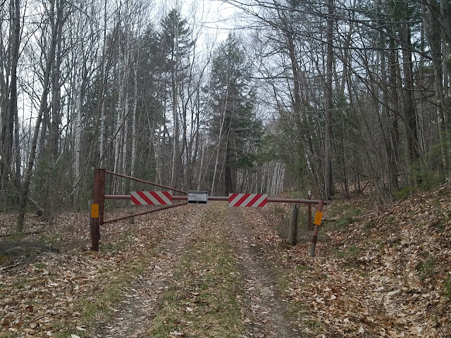 |
| The main gate. |
 |
| Bear right at the junction. |
 |
| After 15-20 minute's walk on the road, Cone rises ahead, the road bears left, leading to an empty lot. |
 |
| This empty lot is the start of the trail proper. |
 |
| At the far end of the lot, at approx 11 o'clock position, look for a faint herd path. |
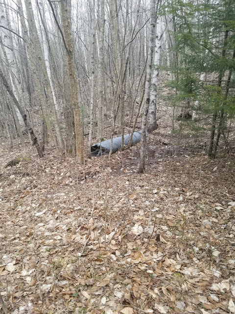 |
| This cylinder rests on the left side of the lot. |
 |
| Step over the rusty cable and you're on the right track! |
The Trail Proper:
After you enter the empty lot, passing the steel cylinder to your left and stepping over the rusty steel cable, you will enter the trail proper. The trail begins at approx the 11-12 noon position, with the entry of the lot positioned directly behind you.
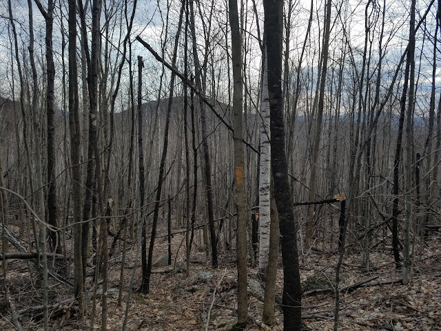
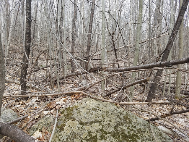
From this point until the ledges you will follow a path that is part herd, part trail, part bog, part talus. The nature of the trail constantly changes. Blowdowns are everywhere!
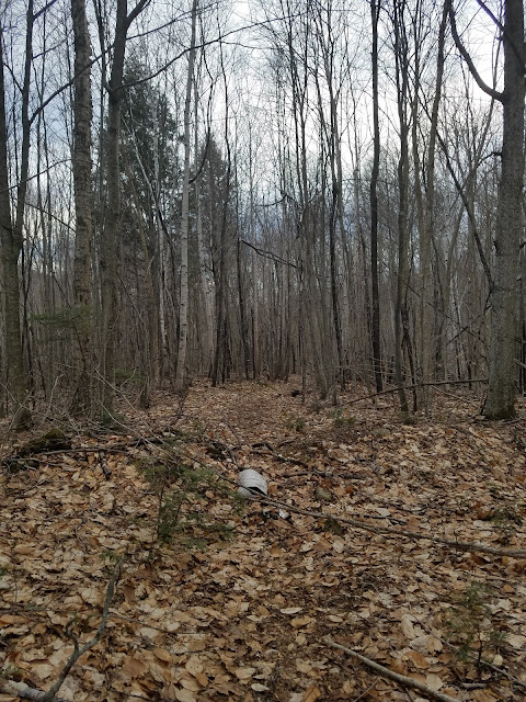 |
| This is the beginning of the herd path at the far end of the empty lot. |
A small river crossing will appear just after leaving the empty lot. I had to bushwhack down a ways until I could find a narrower section to get across. This was the result of the recent rains.
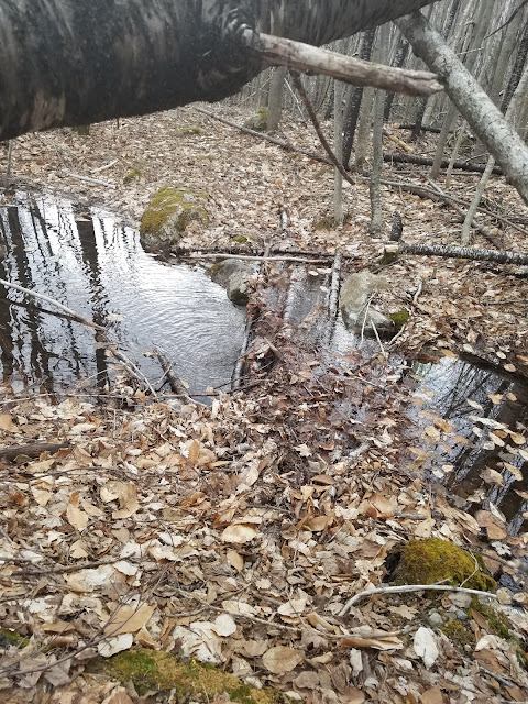 |
| A single water crossing shortly after entering the herd path. |
Shortly after the water crossing, the trail becomes water-logged, with old, timber bridges allowing fairly safe travel.
 |
| Bog timber bridges. |
As the ascent continues, the trees become denser, discolored, and rotten. It's the oddest location I've seen in some time. The vegetation had the appearance of sickness. It was beautiful in it's own way, but odd.
After traipsing through Mordor, the ever-comforting appearance of a duck cairn occurred. I love cairns. They are so reassuring and cool looking. From this point up until the start of the Fisher ledge system, cairns would mark the way, with the occasional tree blaze here and there.
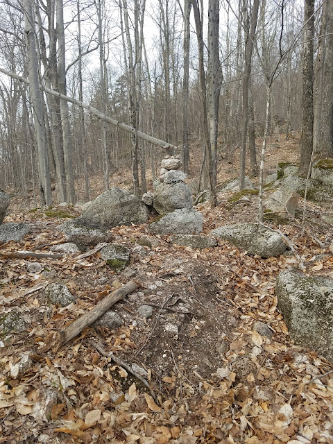 |
| The trail becomes more jagged as you ascend. |
Finally! The start of the ledges! At the start of the ledges, you ascend sharpyly up the souther spine of the mountain. After a few hundred feet the stone paint blazes point left, leading you toward the large slab ascent to the summit.
 |
| The start of the ledge ascent! After this tree blaze I just went straight up onto the ledge and cut left. |
 |
| Heading up the first section of ledge. |
 |
| 1st section of ledge continues up, but the trail markings, paint on stone, direct you left. |
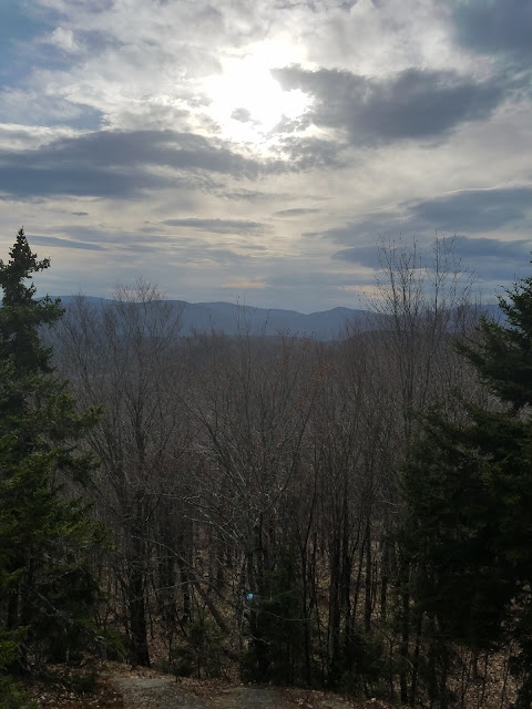 |
| As you traverse sideways along the southern flank of Fischer's ledges, the view starts to pop! |
 |
| Looking back southeast toward one of my favorites... Cone Mt. |
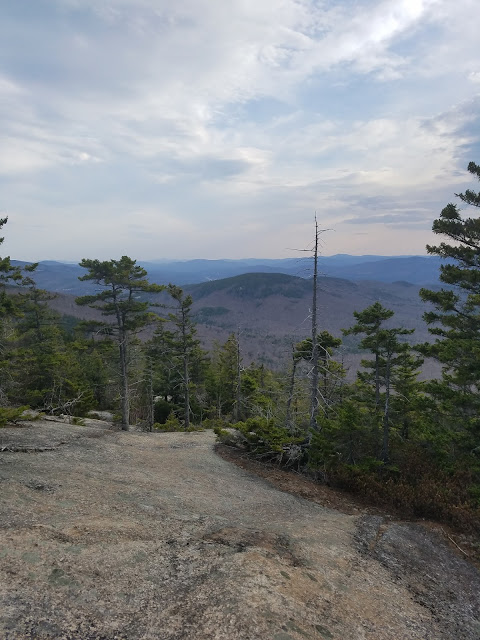 |
| Ledge view of Cone Mt. |
 |
| The ledge ascent goes on, and on, and on.... |
 |
| An MORE ledge! |
 |
| The ledges nearing the summit become considerably steeper, wetter and more dangerous, with wide fissures scattered about. |
 |
| The last vestige.... |
The Summit:
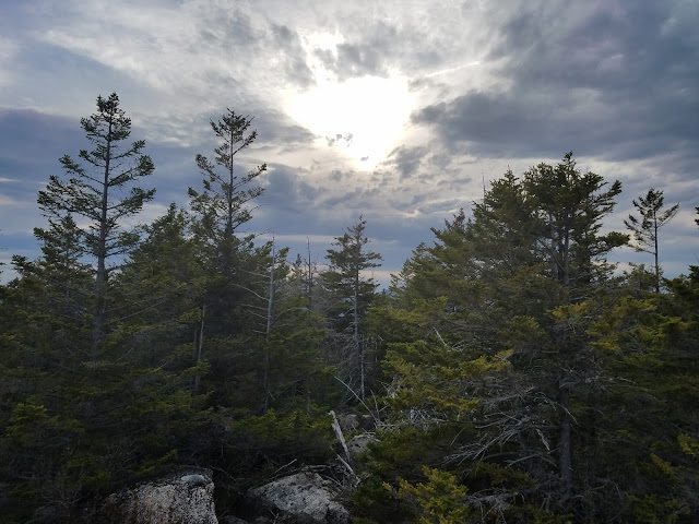 |
| Partially obstructed southern view. |
 |
| Looking east toward Dickey. |
 |
| Foss, Green and Tecumseh are visible from various summit openings. |


