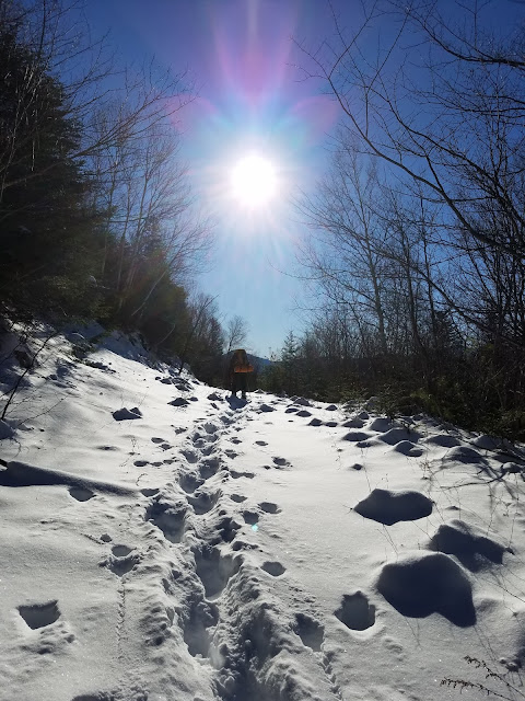
The Captain (attempt)
Livermore, N.H.
December 16th and 17th, 2017
Crew: Jaime Bernard and Thomas Becker

The Mission:
The Captain is a 3305-3540 foot, back-country crag, nestled deep inside the thick wilderness valley resting between South Hancock, Mount Carrigain, and the Sawyer River Trail/Road off of NH Rt. 302. 3540 ft appears to be the more commonly listed elevation, but various trip reports cite different elevations. The Captain's name arose due to this crag's obvious resemblance to Yosemite's El Capitan.
Due to the remote location, many lifelong NH residents, F+G, and Search and Rescue members are unfamiliar with the name. Adding to the mystique, The Captain can only be viewed from one or two locations within the White Mountain National Forest. It's an elusive, mysterious and daunting peak, despite its listing on the NH 100 Highest list.
I first learned about The Captain from a few seasoned back-packers, one of whom had physically camped at the base of the cliff walls themselves. He offered a wealth of information, but also provided a large dose of folklorish hype with the information......He swore that the area was inhabited by Yeti's.... Sounds at night that made his skin crawl with fear.... Others spun tails of such an impossible bushwhack that the trip simply wasn't possible unless you were Sir Edmund.
Gradually the ever-growing myth and lore of The Captain grew in my mind. I was captivated...obsessed. It was time to see this place for myself. I decided upon the weekend of December 16th and 17th, 2017.
At first blush, mid December isn't exactly the best time to tackle such an adventure, but what the hell. The ground was covered in snow, but perhaps only knee deep, which would make the idea of a December bushwhack reasonable.
After several months of planning and research, as well as a number of back-packing and bushwhacking trips prior, that greatly improved my navigating skills, I began to look for an early Winter/ late Fall weekend that would allow me to give the trip a go. Thankfully, my good friend Tom Becker was willing and able to join me.
Although I love solo challenges, this was one trip that required at least 2 people for safety. I really trust and respect Tom's knowledge, fitness, and courage. He was the perfect choice for the trip. Several other well-respected adventurers that I admire were also invited, but were unable to attend due to various obligations.
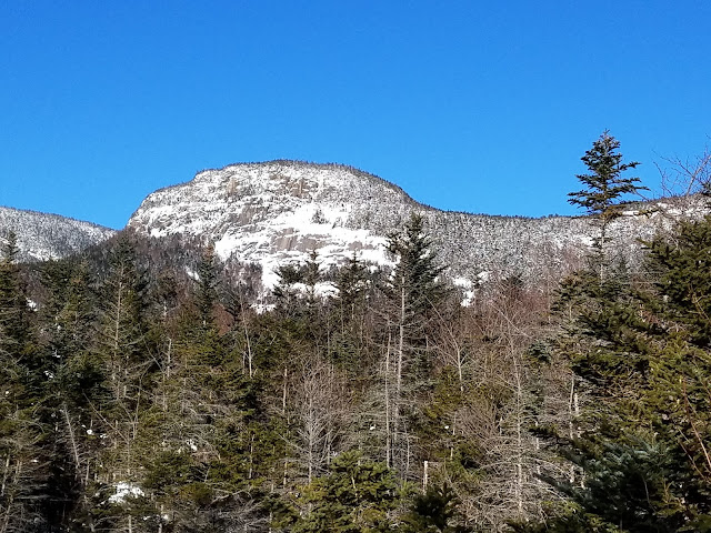 |
| Picture of The Captain as we approached from the climber's herd path. Approx 1/4 to .5 miles away. |
The 411:
Trip reports regarding The Captain are few. Of the several that I was able to find, there appear to be 4 possible approaches: 1) via the North Fork of Sawyer River Road, 2) via a bushwhack southwest from the summit of Mt. Carrigain, 3) from the north past Carrigain Pond, or 4) from the west bushwhacking from South Hancock.
Every approach, except for Sawyer River, appeared to be an intensely thick bushwhack loaded with razor sharp krummholtz and blowdowns. Although Sawyer River Road is closed during the Winter months, the North Fork (FR86), transitions gradually from old logging road into an old herd path or climbers trail that leads directly to the base of the Captain. After viewing the approach in detail via Google Earth, this approach seemed to be the best option. And..... the Sawyer River Road approach is the only way that actually let's you see the cliffs of the Captain. I would argue that Sawyer is the only option to choose for the full Captain experience.
Image number 1
A distant view of the entire area. Bottom middle shows Sawyer River snaking it's way northwest, until the junction of Sawyer River Trail and Hancock Notch Trail. The North Fork(FR86) continues for another mile or so until it abruptly ends at a large open clearing, visible in this image, resembling a small rotary. When we passed through, snowmobile tracks had really defined the borders of this section. The herd path then begins at the 1 o'clock position in the open field. This path continues as a varying bushwhack and her path up until you reach the base of a gravelly slide, also visible in the image. To the west of the slide rests The Captain, with Carrigain Pond just north by approx half a mile.From the beginning of the North Fork split to the base of the slide is 2 miles, so you're talking roughly 6 miles from Rt. 302 until the actual true ascent.
Image number 2
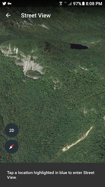
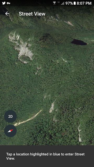
A zoomed image of the gravelly slide, bottom right, with The Captain's cliffs, summit, and Carrigain Pond. According to my pre-planned GPS route, the distance from the base of the slide to the summit cannister of The Captain is .5 miles of bushwhacking. So, give or take 6 miles in by road and bushwhack, followed by .5 ascent to the summit, for a grand total of 13 miles round trip...with 50+ pound packs. Not a bad weekend's work!
Image number 3
A similar image, slightly more cropped. The slide faces due north toward Carrigain. My plan was to ascend the slide, and cut northwest toward to col between Carrigain and The Captain.
Image number 4
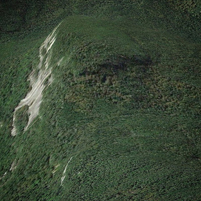
This image captures the slide in greater detail. If you look carefully, as you head northwest from the slide, one can notice the faint dark line of a drainage that leads directly up to the col. Other trip reports suggest that one may ascend the drainage for a time, then jump back into the bush, shading ever left and up to reach the col.
Image number 5
This image emphasizes the contours of the col between the top of the slide and The Captain summit. It's apparent that there is no clear, clean, easy approach to this location. There are steep cliffs scattered throughout the ascent, only to be compounded by thick swaths of blowdowns along the southeast aspect of the Cliffs.
Image number 6
Tight crop of the col leading to the Captain summit. Without regard to the compass, if your track veers left toward the cliffs you hit steep blowdowns. Same thing happens if you veer hard right closer toward Carrigain Pond. The sweet spot appears to be right up the middle, slightly right. Based on other trip reports this appears to be the case.
Images 7 and 8
These images show the contour lines surrounding The Captain cliffs, and southeastern forest leading up to the Captain-Carrigain col. The lines capture how steep the southeast aspect of The Captain is. The flattest approach appears to be from 3250 to 3280 feet. My original route from the slide anticipated this elevation. Hit this elevation and head straight for the summit....
 |
| Image 1 |
 |
| Image 2 |
 |
| Image 3 |
 |
| Image 4 |
 |
| Image 5 |
 |
| Image 6 |
 |
| Image 7 |
 |
| Image 8 |
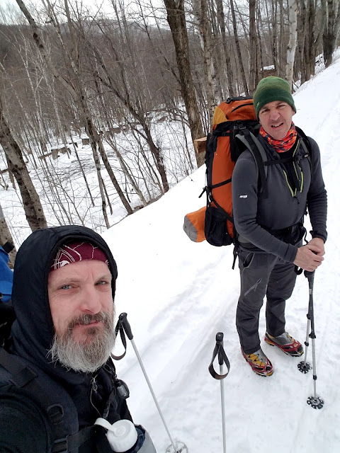 |
| Me on the left. Tom Becker on the right. The old ruins of Livermore can be seen in the background. |
December 16th. Sawyer River Road Departure:
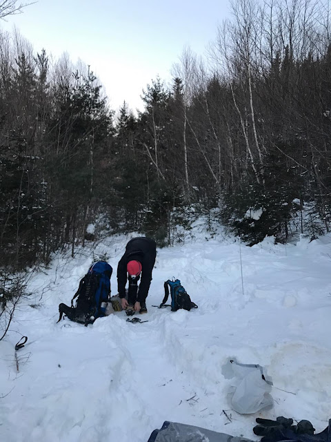
Tom and I decided to sleep in and meet at 10am at the Sawyer River Road gate located on Rt. 302 past Crawford Notch by several miles headed toward Bartlett. With the gate closed, we were ready for the 4 mile road-walk in with packs easily weighing in excess of 50 pounds. The forecast called for partly sunny skies with a chance of snow toward the mid-afternoon. The high for the day remained in the 20's according to my pack thermometer.
Our goal was to hike out 6 miles to the bottom of the slide pictured above.
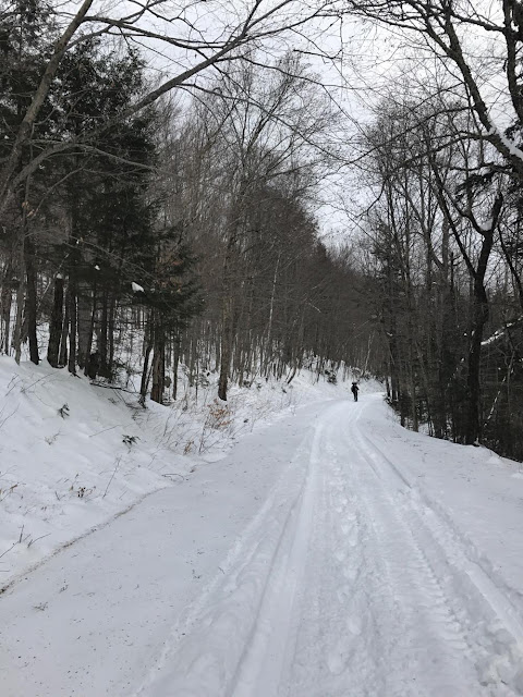
The road was covered in soft, compressed snow. Snowmobiles had traversed the area quite a bit based upon the number of tracks visible. With every step, your foot sank in 3 inches. I couldn't tell if it was the softness of the snowpack or the weight of my pack. Either way, the gradual but relentless road-walk in was an ass-kicker.
We opted to leave our snowshoes behind. I personally hate snowshoes and love the extra workout. Furthermore, Tom and I agreed that shoes would just get in the way once the heavy bushwhack closer to the Captain kicked in. In foresight, we were spot on. The bushwhack would prove to be so tight that Tom would ultimately have a crampon ripped right off his one of his boots. Snowshoes, with their wide diameter, would've been a nightmare.
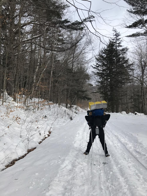
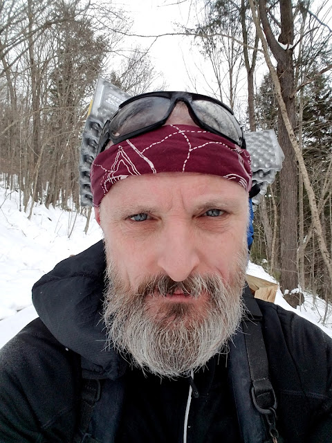
For some reason my pack just didn't fit well on this trip. No matter how I adjusted my straps, the weight always remained on my shoulders. This became incredibly draining after 5 hours, and without question added to the fatigue I would face on the following ascent day.
During the Bataan Death March up Sawyer River Road, several snowmobiles flew by us. We were tempted to throw up our thumbs to grab a ride, but that never happened, We pondered what it would take to convince one of the riders to pick us up. A six pack? $20 bucks? We'll never know, and to honest with you, I hear there is a feud between hikers and bilers regarding how the trail should be treated. lol..... Give me a break.
 |
| The Tominator crushin SRR. |
 |
| Me, and 50 pounds of shoulder weight, dragging ass. |
 |
| Flexed at 90 degrees is never a good sign. #tooheavy |
 |
| half way up SRR, pre-snow storm. |
 |
| A beautiful vantage of Sawyer River taken by Tom, within a half mile of reaching the North Fork leading toward The Captain. |
The North Fork Split:
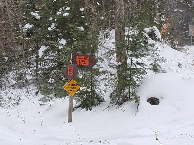
As you reach the historically gated summertime end of Sawyer River Road, there is a parking lot and trailhead sign. From the sign, you can visibly spot the bridge heading left onto the Sawyer River Trail. Just beyond the bridge, you quickly arrive at Fire Road 86, or the 'North Fork' as posted. From the North Fork junction, it is approx. 2 miles to the base of the slide leading up to the Captain-Carrigain col.
At the North Fork junction we decided to drop our packs and recharge for the final stretch before camp. It was nearing mid afternoon, and snow was expected. As a matter of fact, snow arrived just after we donned our packs to proceed.
The North Fork was a psychologically difficult stretch. The precipitation didn't help. We were gradually getting chilled as we continued, as the daylight gradually waned. Each step became a chore. Every time my boot sank into the snow I groaned. But,onward we pressed.
The original goal was to go the full 2 miles from the North Fork junction, straight to the base of the slide that led up the summit of The Captain. At the base of the slide we planned to make our camp, waking at the crack of dawn to tackle the final .5 mile bushwhack of thick vegetation and cliff.
Our 2 mile plan would be cut short. By sunset, we had run out of steam. It was getting dark quick so we decided to stop with .8 miles left to reach the final ascent of The Captain. And then from there, .5 to the summit.
 |
| The North Fork split. Here, GO RIGHT !!!!! |
 |
| Tom's heavy-pack standing on it's own. In the foreground, Armee ski poles, used by the 10th Mountain Division during WWII.....my pride and joy. |
 |
| The miserableness that was the North Fork road, enhanced by a setting sun and wet, drizzly snow. |
 |
| When you're miserable, keep on smiling. Note the wood blocks... lol. |
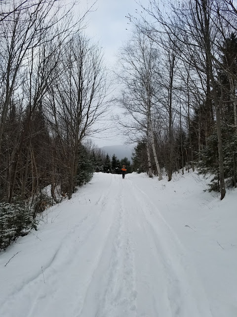 |
| Tom, solid as ever, continues to lead the charge. |
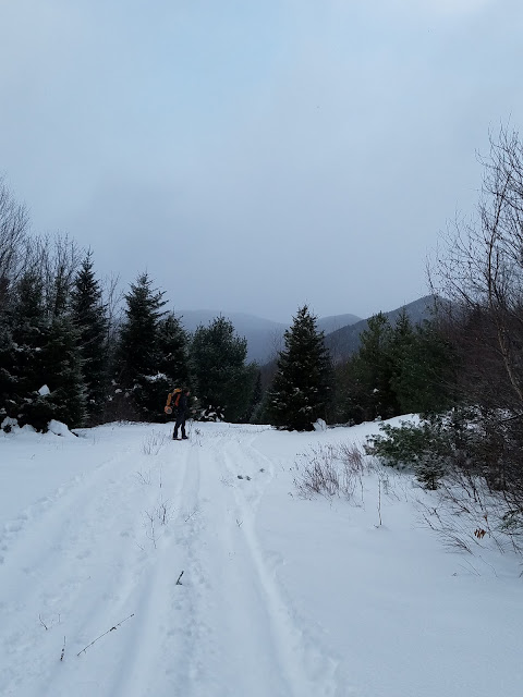 |
| Tom approaches the end of the North Fork road, with a barely visible Captain and sourthwest arm of Carrigain visible on the horizon. |
Bushwhack to 'Camp Captain':
 |
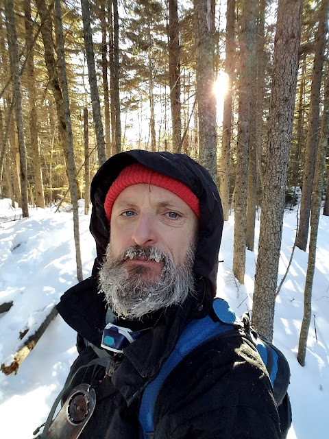
| Frozen snow-beard, and totally grateful to stop after a long day. |
 |
| Unbroken, knee-high snow |
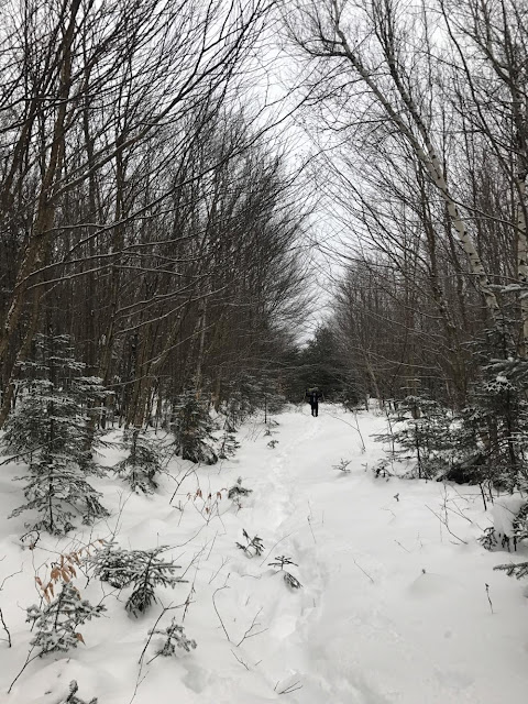 |
| Breaking trail after a grueling day. |
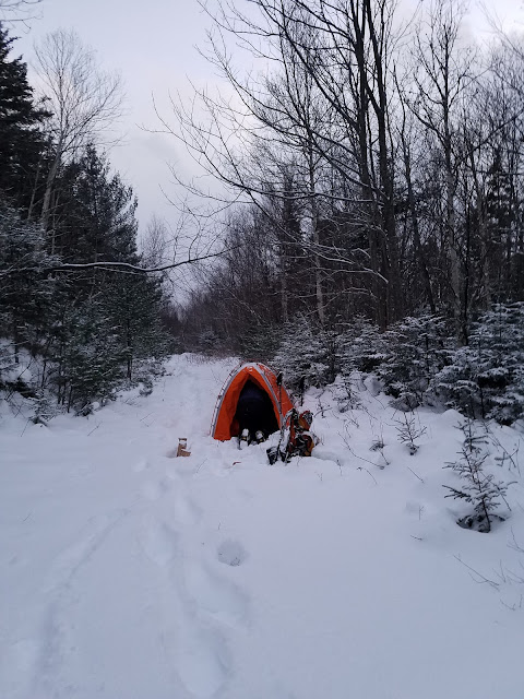 |
| Tom's mountain Hardware tent. |
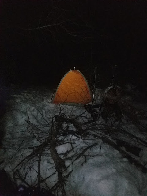 |
| Dead, mostly dry kindling collected throughout the proximate forest |
 |
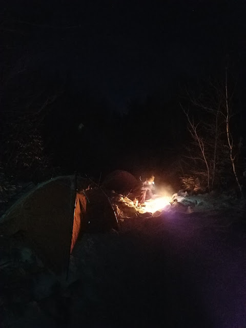
| Camp's up!!!! Time for a raging back-country fire!!!!! |
-10 Degrees Ain't So Bad With A Raging Fire:
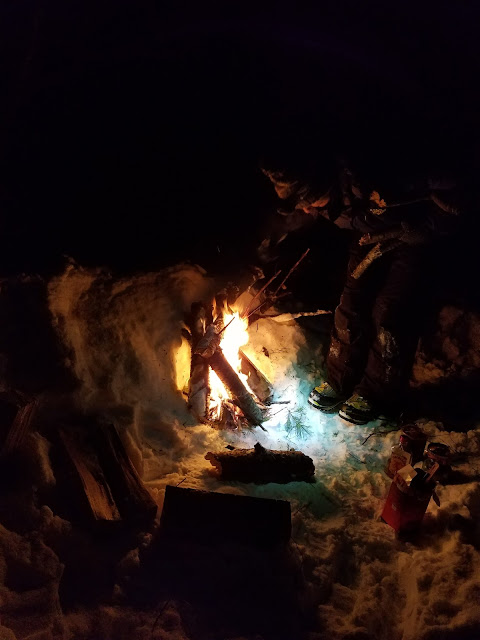
Pardon the gratuitous fire shots in this next section. This blog is as much for you as it is for me. This fire was one of the best fires I've ever enjoyed. I want these pics here to reflect on. These pics bring back some great memories. After a long cold day, and in the midst of one hell of a cold evening and night, this fire was magic.
After this trip ended, and we were able to determine the actual temps that we camped out in on the 16th, we were blown away. It was a cold one for sure. In the low lands near Bartlett, it dropped to -6 degrees below zero. At our altitude, that easily translated to -10 below, not factoring the wind. That was the base temp! One damn cold night.
The week prior, I was able to test out my gear during a cold overnight near Carter Notch, on the Jackson side. That earlier weekend was an education.
 |
| Tom getting the fire ready. |
 |
| Camp Captain |
 |
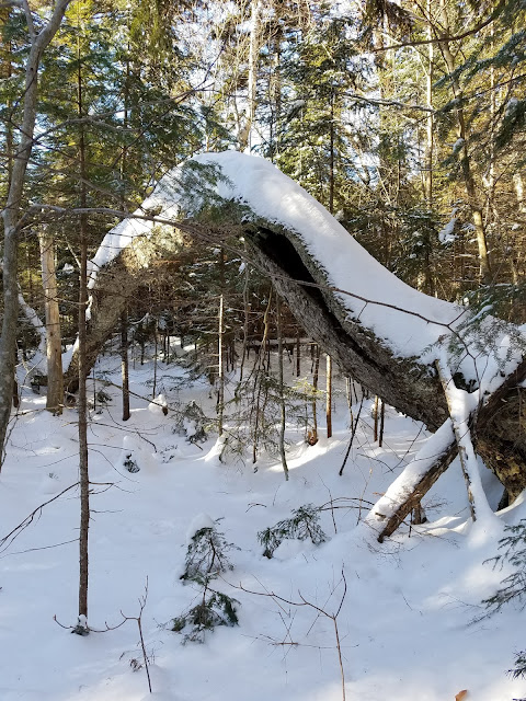
| We saw this path repeatedly as we foraged for dry wood. |
 |
| The fire is raging at last light. |
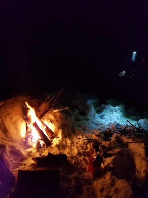 |
| YES!!!!!!!! |
 |
| I brought a multi-purpose tarp. We ended up sitting on it next to the fire to get off of the ground. |
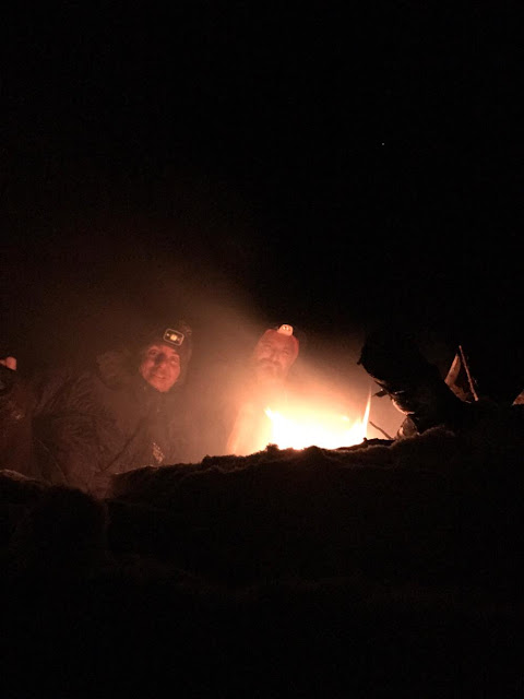 |
| Tom's self-timed 'mystical' shot! Good times. My eyes were burning all night long from the smoke. |
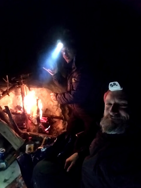 |
| Best back-country fire to date! |
Overnight and Breaking Down 'Camp Captain' At Sunrise:
After enjoying the fire for a few hours, we began to prepare for the bitterly cold night ahead. The main goal was to boil enough snow in our propane burners to fill our Nalgene bottles. These bottles would be used for the bushwhack in the morning, but also to keep us warm overnight. I was able to fill 3 individual bottles with piping hot water. Inside my 22 degree bag, I would keep one bottle at feet, one between my knees, and one at my chest.
Backpacking in bitterly cold Winter weather is a challenge for sure. I took Tom's advice, keeping everything in my sleeping bag that I would need to be warm in the morning. This included my down mitts, boot liners, and any other layers that I planned on using the next day.
Instead of using one of my bivvy sacks inside my bag, I opted to wrap myself inside a large foil emergency blanket that measured approximately 5 feet by 5 feet. This blanket really worked well. At times, if I felt any cold against a particular part of my body, I would simply pull the foil blanket over the area and it would warm it immediately.
I woke well before sunrise, turned on my headlamp, and discovered that the entire inside of my tent had a accumulated a solid layer of frozen condensation. I find condensation to be a difficult challenge. My 3 season tent was certainly ventilated, if not overly ventilated, but none the less the outside of my bag was damp, and the tent was frozen. Tom experienced much of the same.
 |
| Firstlight |
 |
| Sunrise from the middle of nowhere! |
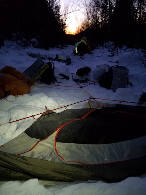 |
| Breaking down Camp Captain on the coldest damn morning. |
 |
| Looking back from where we came, toward the North Tripyramid Slide |
The Remaining 1.3 mile Bushwhack To The Captain:
We decided to leave our heavy-packs back at the camp. No one would be coming this way. I mean NO ONE. It's just to remote for the Winter months. Our gear would be safe.
I had packed my ultralight pack along with all my other gear, strapping it onto my 105 Liter Lowe pack via a carabiner clip. Inside the ultralight I packed the following:
- one 2L Nalgene full of boiling water,
- several hand warmer packets,
- 2 emergency bivvy sacks,
- RES-Q link PLB,
- 3 topo maps,
- enough food for the day (tuna packets, protein bars, trail mix),
- Kevlar gloves and arm sleeves for the thick vegetation ascent,
- goggles
- balaclava
It's amazing what you can stuff into these little junior-size packs. My GPS and compass were on my body. I kept the GPS inside my coat to prolong the battery life. Although I opted to use lithium batteries, on the advice of Casey Breeds, the power drained surprisingly fast. I had 6-AA lithiums on hand for the bushwhack, hopefully lasting the remaining 2.6 miles out and back to camp.
Our intention the day before was to stop and set camp .8 miles further than where we ultimately stopped. In hindsight, this .8 would've been a nightmare to cover that late into the night. Also, setting up camp in the dark, building a fire, exhausted, wasn't a realistic or safe option.
Because we stopped prematurely, we still had 2.6 miles left to cover, all of which would be marked by thick vegetation and knee-deep snow. I suppose had we made it straight to the base of the slide pictured above, our chances of reaching The Captain's summit would've improved dramatically. This wouldn't be the case this time around.
After leaving camp, we followed the herd-climbers path for as long as we could, maybe for a half hour or so. The path soon became impossible to find as the vegetation began to close in on us. Once the path disappeared, I broke out the GPS.
The GPS path that I constructed on Google Earth, then transferred to Garmin's Basecamp to the GPS, worked fairly well. I led us on a relatively flat and dry path, with occasional 50-100 foot changes in elevation. With every step forward, with The Captain visible directly in front of us, we knew we were on the correct course.
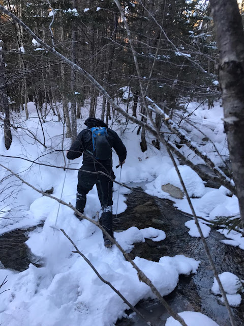
As we progressed forward over the next hour, several active drainages presented themselves. There was no way around them as we were parallel to the primary river flowing back toward Sawyer River. At this time of the year the drainages were partially frozen. There were no ice bridges to rely upon, only ice-covered stone. Each crossing was exhilarating. All it would take is one slip to really get yourself into some really big trouble. Below I present a series of pictures from two of the several crossings that we crossed, one of which Tom crossed missing a microspike!
As we gradually approached the slide marking the actual beginning of our final ascent, the drainages were replaced with large sections of bog. These bogs were fairly well frozen, thank goodness!
Tom and I silently began to accept the fact that a summit-bid wasn't in the cards. Personally, I knew we were done when Tom looked down to find one of his microspikes missing. How the hell was he supposed to bushwhack up the steep ascent to The Captain without traction? Here are some other factors that influenced our decision to bail:
- It was also much later in the morning than we expected. It took us close to 3 hours to cover just .8 miles out! This terrain is no joke. It's thick and slow-going; The blog 'DMOutdoors' reported that it took them at least 4-5 hours to cover the 1 mile to the summit and back, in warm summer months. With snow, I'm guessing it would've taken us 6 hours minimum.
- The GPS batteries were going fast. I would classify my navigation skills as intermediate. This adventure was well beyond intermediate. At our rate of progress, we would be navigating our way out of this region in the dark, without a GPS, solely with maps and compass. Then face another 6 miles of heavy-packing back to Rt. 302.
Tom called it as we were within 75 ft. of the slide. I was leading the bushwhack at the time. He didn't see me, but my face revealed a huge sigh of relief. We both knew this trip was over.
The key safe back-country exploration is to know when to bail. Experience has a lot to do with those decisions, but one also has to listen to the subtle voices or 'vibes' if you will. I believe that you instinctively know what to do in situations like these. You just need to be sensitive to the message, and open to act upon it. For Tom and I, there were multiple red-flag moments which gradually closed the door on out Captain attempt. I'm glad that we recognized them and turned around.
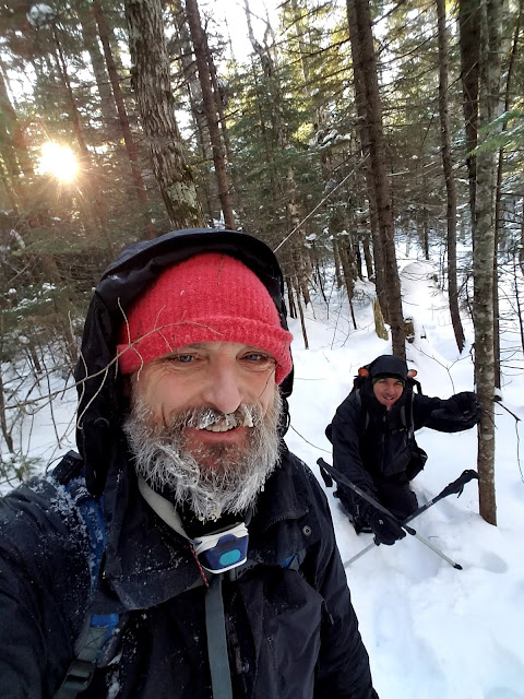 |
| Off of the herd path, into the frying pan. Tom postholes for a sub-zero selfie.An hour in and the ice-beard is back! |
 |
| The bushwhack out to the Captain is tight, scratchy, and relentless. Tom took this pic of me leading. |
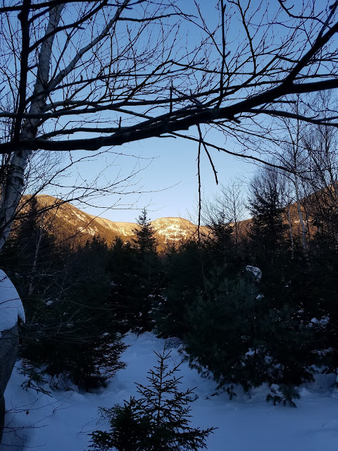 |
| Finally!!!! The goal is in sight. |
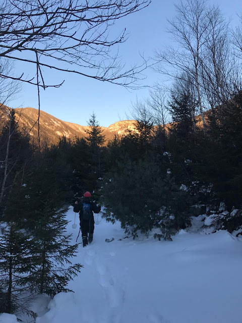 |
| Leading the charge.....Man on a mission. |
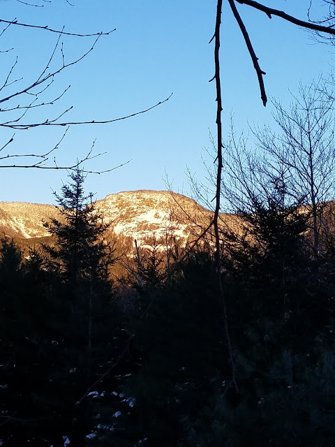 |
| Closer still....The Captain approx. 1/2 mile away. |
 |
| 100 yards to the slide ascent. |
 |
There are several water crossings leading out to the Captain. They grow in number and frequency the closer you get to the final ascent. Here is the first major crossing.
The Anatomy Of A Winter Water Crossing (part 2):
This crossing was remarkable due to the fact that Tom had to cross it while missing one microspike! Holy shit.....that's why I love this kid. Fearless!
 |
 |
| Who needs 2 microspikes? |
So Close, But Yet So Far Away:
75 Feet from the Start of the Final Ascent............
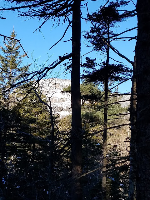 |
| This is as close as we got to this beautiful crag. What a magical place!!!! |
 |
| Exhausted, cold, but eager to return! |
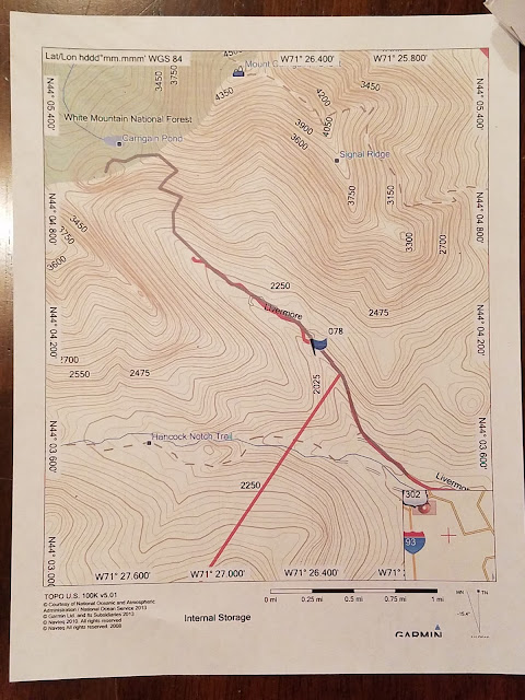 |
| The red line indicates our stopping point. 75 feet from the base of the slide..5 miles left to reach the summit. |
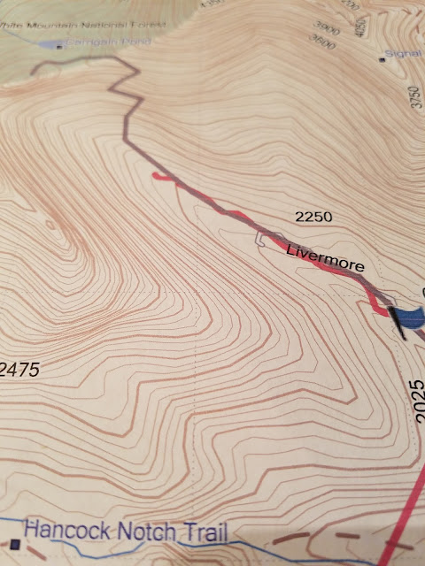 |
| A close-up of our stopping point. |
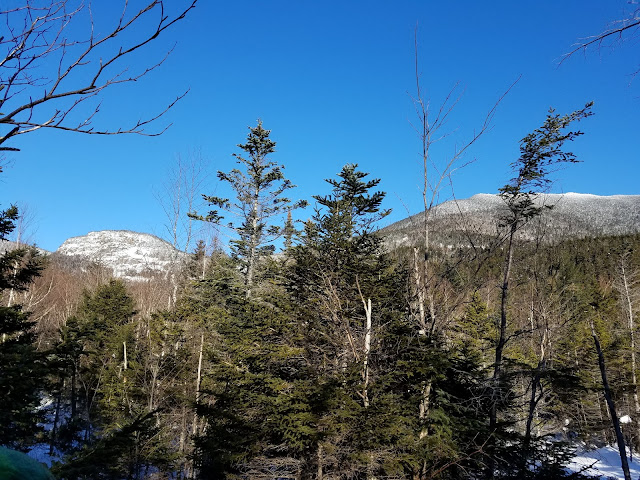
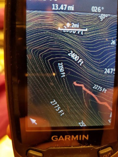 |
| Stopping point as measured on the Garmin |
The Long Road Home:
Parting is such sweet sorrow. These pictures capture the magnificent Captain, as we slowly reversed course and left. We followed our tracks out without issue, turning around frequently to gaze back toward the open cliffs.
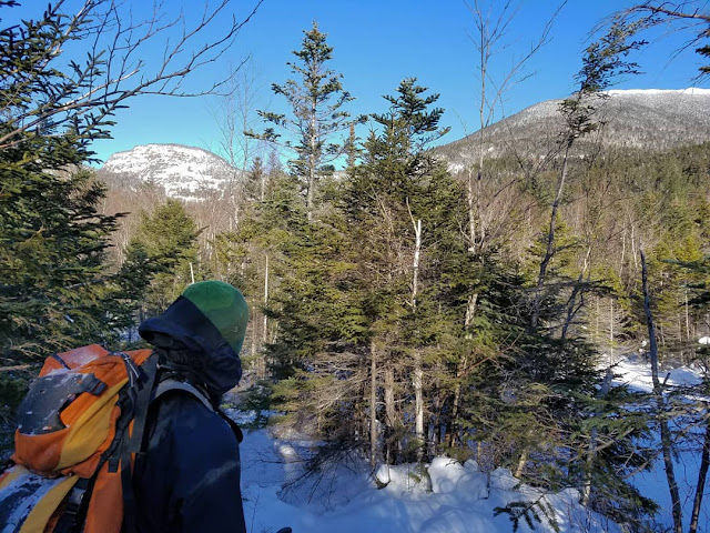 |
| Tom gazing back at the Captain (left) and the summit fire-tower of Mount Carrigain (right) |
 |
| The Captain (left), Mt. Carrigain (center-right), and Signal Ridge. |
 |
| Heading out, toward the warm morning sun. |
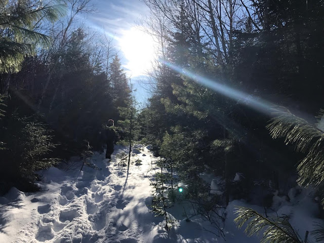 |
| Tom leads us out back toward camp, our packs, and the long Sawyer River Road. |
 |
| Tom gazes south toward Passaconaway, Whiteface, Kate Sleeper, and North Tripyramid. |
Final Thoughts And Additional 411:
This trip requires 3 days to safely complete in the Winter, and two in the summer. Anything less will take away your enjoyment of the region. This truly is an untouched, ddep, quiet, and magical location. I plan to go back whenever feasible, even just to enjoy the back-country camping.
If attempting The Captain in Winter, ride a fat-bike, ski nordic, or hitch a ride on a sled out to the end of the North Fork. It's just such a long road to walk with that amount of gear.
A special shout-out to Casey Breeds for letting me borrow his 64st GPS unit. It was a life saver for sure. Also, a special thanks to Alvaro Margues, and Suzie Keyes for braving the cold of Carter Notch in order for me to test out my 3-season gear in Winter-like conditions... That test was critical in my understanding of what was feasible and plausible for this Captain attempt. Finally...thank you Alexandria Bernard for putting up with this never-ending lust for adventure, for trusting me to not get in over my head, and for not calling SAR when I run a bit late.
The following screenshots are from several other trip reports. I found them extremely useful in my planning for this trip.
I'll Be Back:
 |

