Flume Slide ascent (actual)
Spring 2017
 |
An approximation of the ascent.
The
actual Flume Slide was something that I'd wanted to ascend for quite
some time. After my ascent of the 'Flume Slide Trail' the previous
summer, and the subsequent realization that the trail has no significant
connection with the actual talus field and slide, I grew quite a chip
on my shoulder. I would have to return......
|
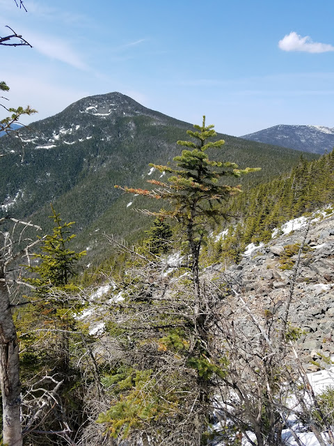 |
| Just about to break out of the vegetation, onto the actual Flume slide, I view Liberty in the distance. |
--------
Once again my friend Jay Beaudoin gave me a simple instruction which I took to heart. Paraphrasing his instruction, he essentially told me to 'come to the first slab, and cut right off the trail to the left. Head into the woods, and you'll eventually hit the slide.'
Having seen the caliber of Jay's adventures over the previous several months, I took his advice to heart. There was only one problem......finding the first slab.
In drier weather, the first sharp ascent on the Flume Slide Trail is unmistakable. I had a visual memory of it from when I ascended the trail in drier, non-snowy conditions. Now, however, snow and ice covered every inch of the trail.
The second issue is one's perception of 'slab.' With the late Winter snow-cover, every 'slab' looked the same. Was I at the right section of slab? Was it steep enough to be the 'jump-in' spot that Jay had mentioned? Who's to say that one's idea or description of a 'slab' is another man's?
Honestly, I couldn't tell where the proper starting point was based upon Jay's description. This wasn't his fault. It was the snow cover.
After breaking the proper Flume Slide trail for an hour or so, the ascent began. It was clear that I was ascending Mt. Flume, parallel to the slide. The trick would be to cut off the trail at the right height in order to reach the actual slide.
I decided to jump in at a random spot that looked somewhat like a drainage path, apparently ascending northeast. I was never quite sure if I was at a proper elevation to cut straight
horizontally across to the North in order to reach the slide. So, I
decided to avoid a straight horizontal approach and opted to ascend
upward "to the left" or north as you would have it. The idea being that I
would hit the slide eventually if I kept ascending essentially
northeast. The thought of bushwhacking horizontally, missing the slide, and getting lost in the valley below Liberty and Flume was not an appealing prospect.
Over the next 2-3 hours, this drainage would interlace with various herd paths, bear paths, and moose tracks. For a majority of the time, I would find myself waist-deep in the remaining snow of Spring, post-holing every step unless I placed my foot against and upon the higher side of every tree.
This plan did eventually work out in the end, but the bushwhack was enormously taxing. If it weren't for the warmth of that early Spring day, and the reassuring thought that I would eventually hit the Osseo Trail, the outcome might have been less positive.
 |
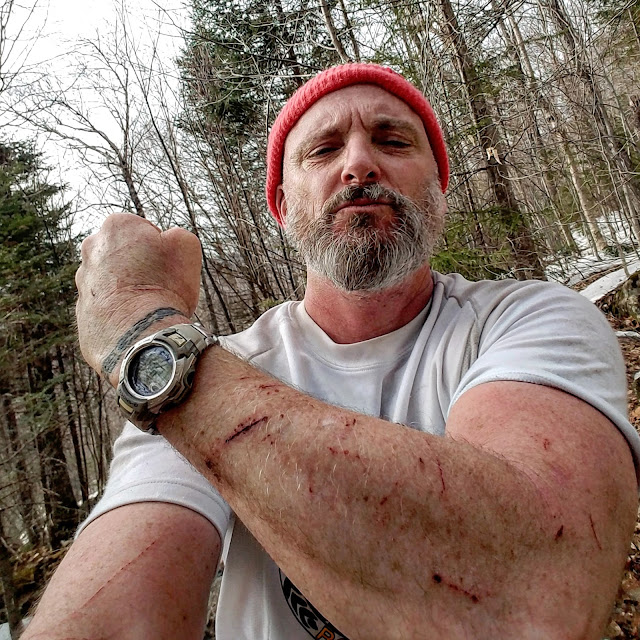
One of my many bruises sustained during the Flume Slide Ascent.
--------
|
 |
| Beautiful day for an epic bushwhack! This picture captures the conditions on the lower half of Flume Slide Trail. Light traction only. Snowshoes might've helped, but I hate them. :) |
 |
| Mount Flume approaches in the distance. One can make out patches of snow on the talus field of the slide. |
 |
| The early portions of the bushwhack were tame, with wide patches of ledge. |
 |
| Goodbye ledge, hello thick vegetation. My first battle-scar....forehead. |
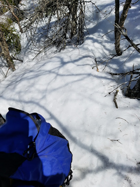 |
| The general conditions for the bushwhack. Steep, and deep. |
 |
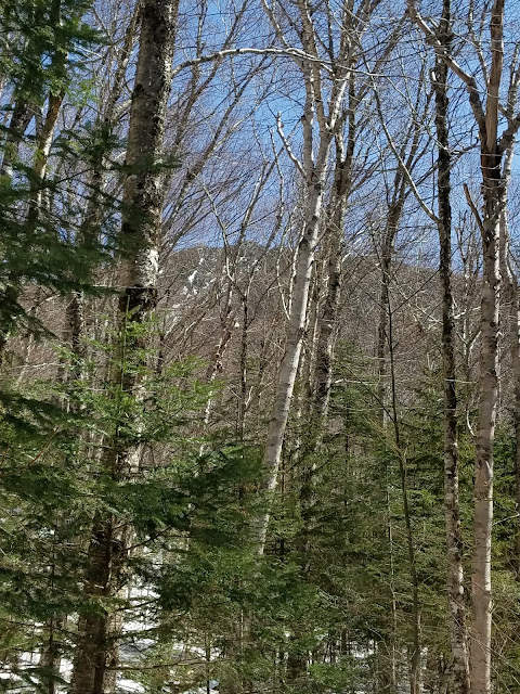
| One foot in front of the other. I felt peace knowing that the summit had to come eventually. This pic captures the level of thickness of the vegetation. |
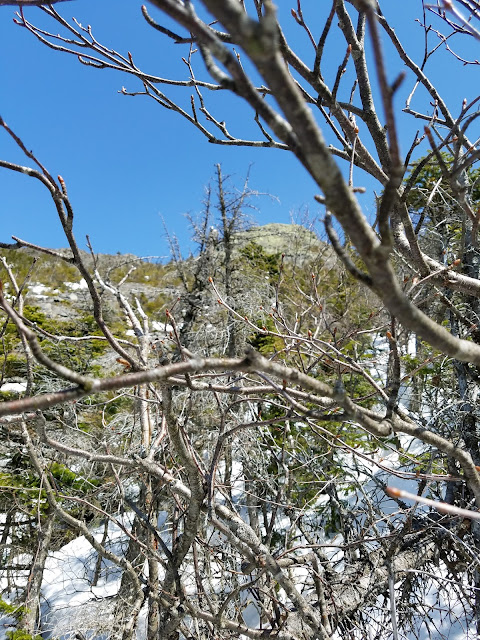 |
| My first glimpse of the Flume summit and slide. |
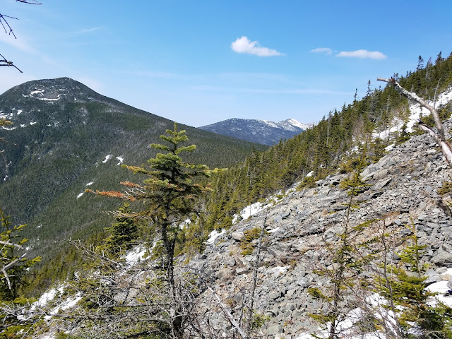 |
| The actual Mt. Flume Slide.Liberty sits left. Haystack and Lincoln rise in the distance. |
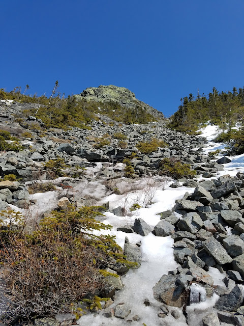 |
| My final destination....Conditions aren't so bad, but my legs are jello from the strenuous bushwhack. |
 |
| Fatigued, I opt to avoid the direct ascent of the slide and cut left toward the vegetation. This would prove to be a mistake. The route directly above me in this picture is essentially more of the same after this point. However, having spent most of my energy in waist deep snow, I thought the vegetation on the left side of the slide would prove helpful. That wasn't the case.Looking back on the ascent, I should've ascended straight up. Live and learn. |
 |
| I was here (or there!) |
 |
| The left side of the final Flume Slide ascent. I would break through the vegetation above me, cut hard left, and ascend a very steep gully on the left side of the southern Flume prominence. |
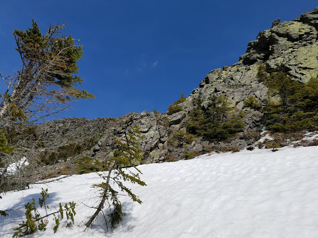 |
| This snowfield sat directly above the field of vegetation observed in the previous video. From here, I cut hard left, until I again reached dry earth, then ascended gradually, relying upon narrow foot-holds and thin vegetation for hand-holds. |
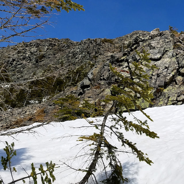 |
| A closer vantage of the northern aspect of the prominence just south of the Flume summit. No easy route up. This is why the direct ascent of the slide is the correct, easier choice. I could see and hear several people enjoying the summit. So close but yet so far away. |
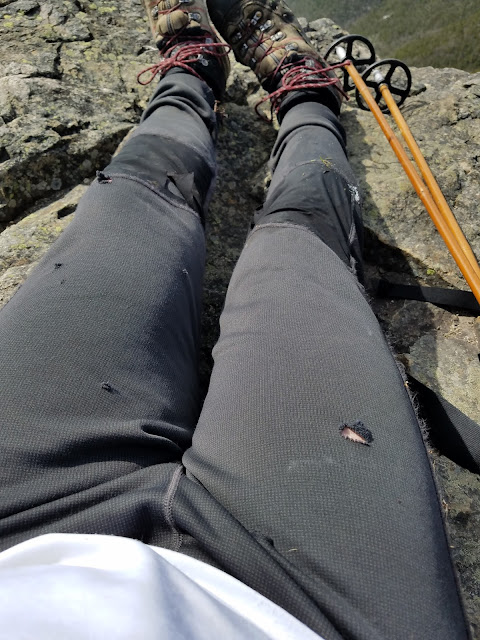 |
| I made it!!!! Another pair of pants ripped to shreds. |
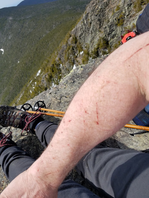 |
| Battle scars..... |
 |
| Another victory. Proud, but humbled for sure. The slide isn't as bad as I had imagined. I believe that people have built up the mythology of the Flume Slide trail more-so....I'd take the slide over the Slide trail any day. |
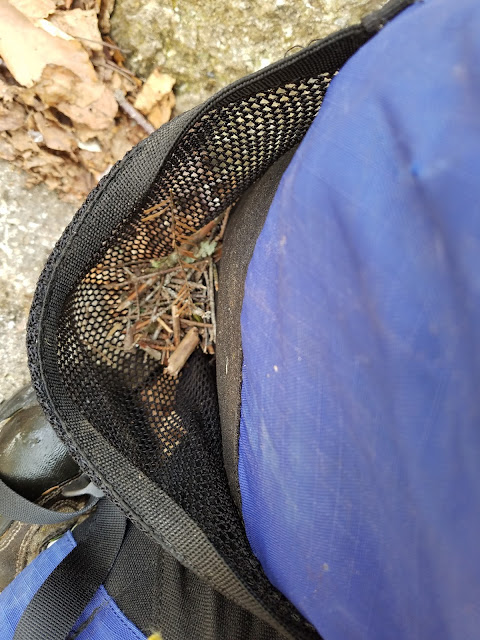 |
| Someone's been shwackin! |
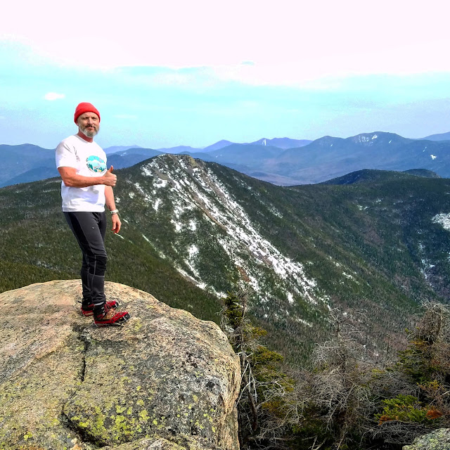 |
VICTORY!!!!!!Ripped, bruised and shredded, but victorious.
|


