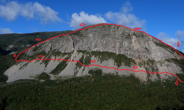
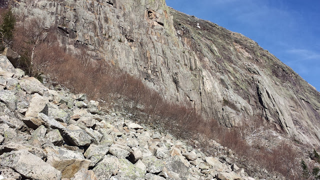
Cannon Cliffs Loop Bushwhack
11-12-16
To
date, this was one of my favorite bushwhacks. I drive by Cannon Cliffs
twice daily for work. For months I would gaze up at the cliffs and talus
field, wondering if it was possible to cross the talus field and
bushwhack up, over, and back to the starting point.
--------
This post sequentially maps out each section of this amazing bushwhack. I highly recommend this trip. The Cannon talus field is super sketchy. The stone exfoliating off of the Cliffs keeps you moving without looking back. The views on the southern and northern flanks of the cliffs are one of a kind. Staring down the deep gully of Whitney-Gilman is intense. The krumholtz leading up to the Kinsman Ridge Trail overlook is the thickest I'd ever encountered, ripping my clothing to shreds. But as usual, it was worth every second!! And of course...the remains of The Old Man site.
 |
| Let's do this..... |
 |
| Heading south on Rt. 93, park at the 'Trailhead Parking,' just at the southern end of Profile Lake. Head toward the Cliffs and you will see this bridge. A difficult to see path leads you up to the lower edge of the talus field. |
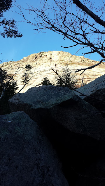 |
| As you bushwhack higher through the woods toward the talus field, huge stable boulders line the divide between the forest and talus field. My goal was to skirt this edge, heading south toward the southern flank of the Cliff. This would hopefully provide more stability and safety for my footing. |
 |
| Breaking through the forest, onto the talus field provides a fine view of Franconia Notch. |
 |
| Whitney-Gilman, a popular climbing route, rises in the distance. My plan is to reach the base of this section, then skirt around the base, then into the woods to begin my bushwhack ascent. I make my way gradually, following a rough line made by several duck cairns, most likely meant to mark the vertical paths toward various climbing routes on the Cliffs. |
 |
| In front of the historic location of The Old Man of The Mountain. |
 |
| The Old Man's resting place. I always wonder which rocks on the talus field were part of his profile. |
 |
| Talus is fairly stable if you're picky with your footing. WG is getting closer. I'm beginning to realize that hugging the lower border of tree and rock is very difficulty. This southerly traverse has a strange magnetic pull upwards as you move. Psychologically I believe there is comfort in moving steadily upward. Rock slides move downward....I don't want to be a part of that! |
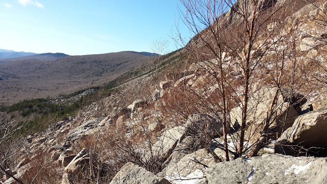 |
| Occasional patches of vegetation offer a respite to the talus, and thus more stability. I'm beginning to notice increasing amounts of snow and ice as I ascend, but no need for traction at this point. |
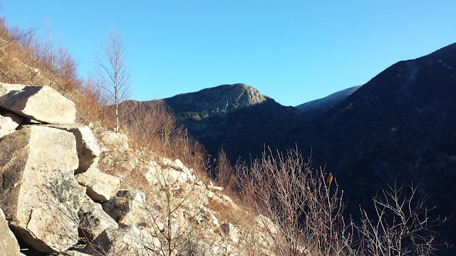 |
| Taking a break at a duck cairn, I gaze north toward Eagle Cliff and the Greenleaf Trail. |
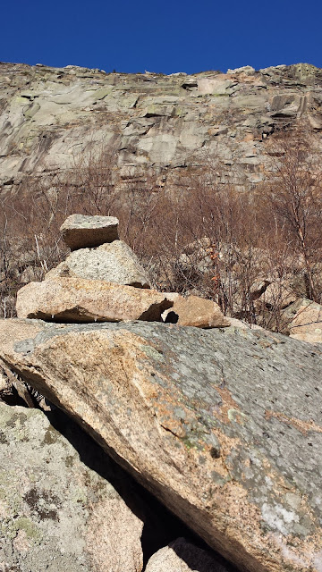 |
| Same cairn as in the previous picture. This duck cairn is typical of the several positioned across the talus field. |
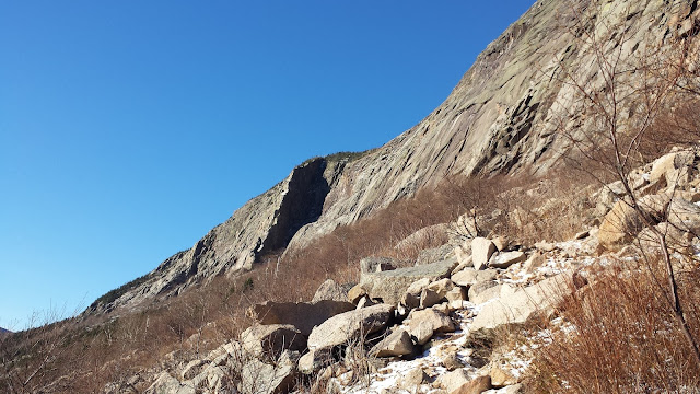 |
| The vegetaion gets thicker as I ascend, getting closer to WG. This is about halfway across the Cannon talus field. |
 |
| Looking north. The historic location of the Old Man. |
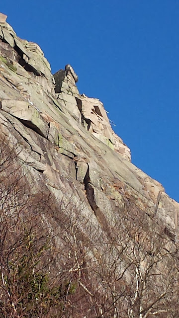 |
| Close-up. You can see several lines of re-bar jutting out, previously used to prevent to inevitable collapse of the Old Man of the Mountain. |
 |
| Another duck cairn. WG is getting closer and more defined. At this point I hear a large crash of rock from the north, just behind my location. This time of the year can be particularly dangerous for rock exfoliation. As the morning sun rises the rock begins to peel off like an onion. The earlier the start the better. |
 |
| The formidable Whitney-Gilman. The talus here is fairly large and somewhat stable. |
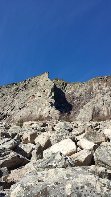 |
| Directly below Whitney-Gilman. |
 |
| Passing Whitney-Gilman, the north-view is amazing. |
 |
| The north-view just past the base of Whitney-Gilman. Stunning! |
 |
| The talus field ends. The forest bushwhack begins. Entering into the woods, I quickly realize that I will need to descend 2-300 feet in order to bypass hidden cliffs unseen from the road or talus field. |
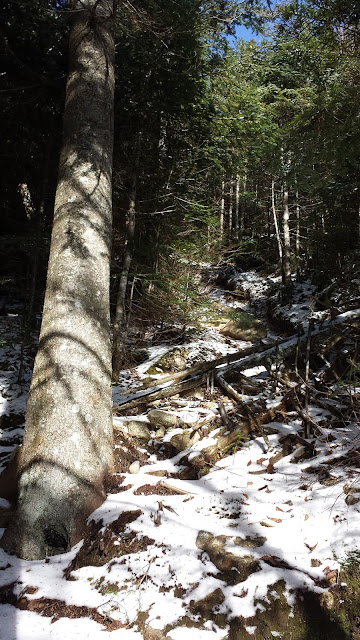 |
| After bushwhacking east for 20 minutes I discover an un-maintained trail heading directly up the southern flank of Cannon Cliff. I'm assuming it's a climbers trail. I'm greatly relieved. This trail saves me a good deal of time that would've been spent bushwhacking up through some very thick spruce and pine. |
 |
| As I continue to ascend this climbers trail, I continually look for good points to dive back into the woods. At the top of the trail, it suddenly banks right and down. I follow it directly to the top of the Whitney-Gilman Gully where the views are absolutely amazing. |
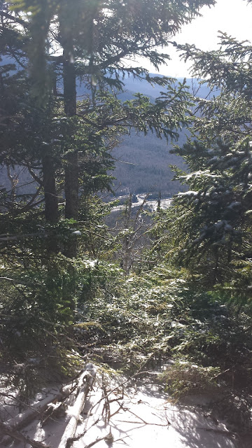 |
| Looking South from the un-maintained trail.The Old Bridle and Falling Waters trailhead can be seen in the distance. |
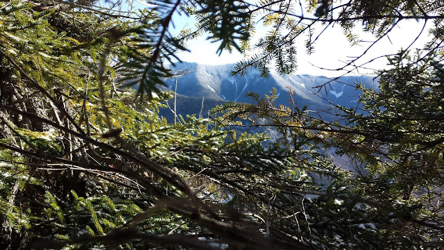 |
| Little Haystack, Lincoln and Lafayette begin to pop through the trees. |
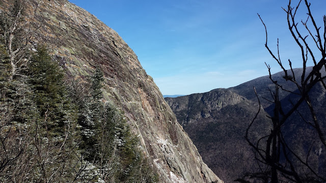 |
| The view from the end of the unmaintained trail that ascends the southern flank of Cannon Cliffs. |
 |
| Gazing down into the deep gully of Whitney-Gilman. The entire talus field spread out below, as well as a view of my starting point back at the Profile Lake trailhead. |
 |
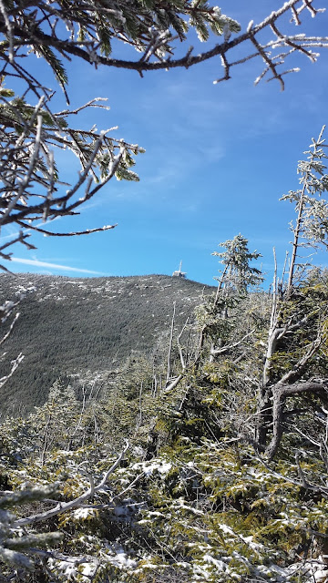
| I dive into the vegetation. After several frustrating dead-ends made impassable by rock, snow and ice, I begin to gain elevation. The summit of Cannon Mountain begins to appear to the west. I'm comforted knowing that my end destination is lower than this summit tower. |
 |
| The krumholtz is not to be underestimated here. The dwarf-pine is brutal, thick, and sharp. My thermal running pants get shredded. |
 |
| In relation to the Cannon summit, I must be getting close, but I've yet to break out of the thick vegetation. |
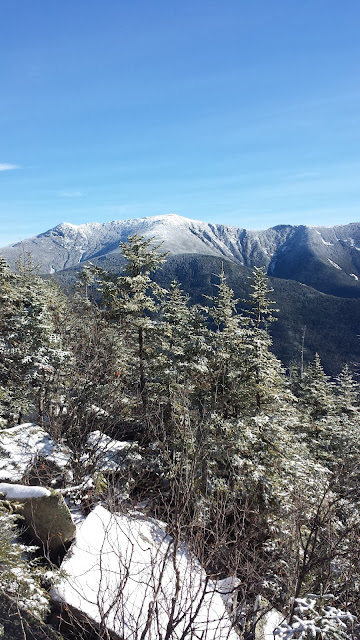 |
| Finally!!!! the Franconia Ridge finally pops. The vegetation is thin here, with large boulders. I had my traction on for this section, as these rocks were covered in ice and snow. |
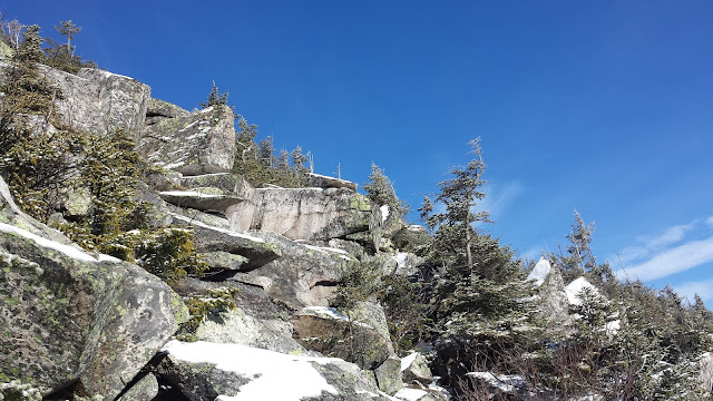 |
| Above treeline, headed toward the Kinsman Ridge Trail overlook spur. |
 |
| Looking south toward the Lonesome Lake Trail, Hi-Cannon, Cascade Brook, and The Basin. |
 |
| Incredible view back southeast toward Lafayette Campground and Trailhead Parking. This is the moment I told myself I'd be back. |
 |
| The southeast ravine of Cannon Mountain. Hi-Cannon. |
 |
| The talus gets smaller as I approach the height of land for the Kinsman Ridge Trail spur overlooking Franconia Ridge. |
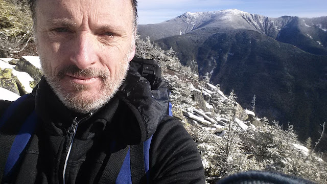 |
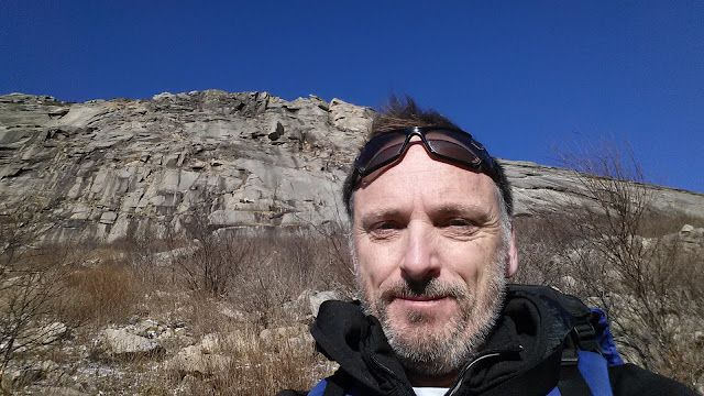
| When you're proud of yourself, take a damn selfie. |
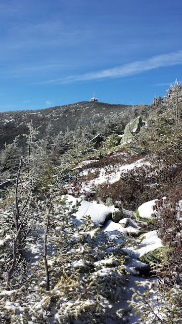 |
| The height of land. |
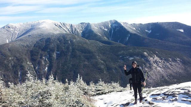 |
| Kinsman Ridge spur. The psychological half-way point. |
 |
| Headed down. Eagle Cliff and the Greenleaf Notch col in the distance. |
 |
| The descent down the northern flank of the Cannon Cliffs is thick, but not as bad as it's southern counterpart. |
 |
| Almost there. |
 |
| I beat the late fall sun. |
 |
| I finally break out onto the Pemi Trail. I head south back to the car. |
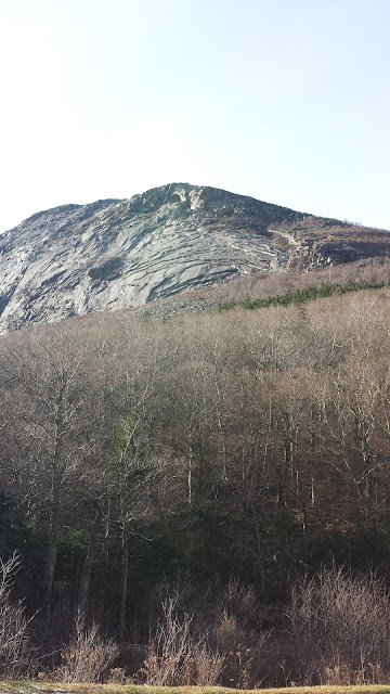 |
| Gazing back from where I just descended. The northern flank of Cannon Cliffs. |
 |
| Hiking Hooligan |
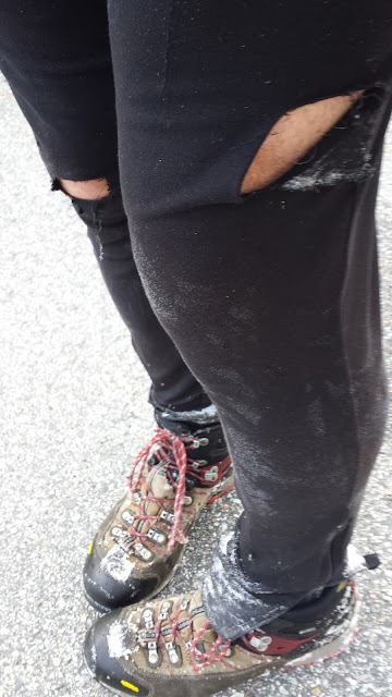 |
| Shredded and beat-up, but pumped. |


