Hiking DJ's Tramline
- Cannon Mountain -
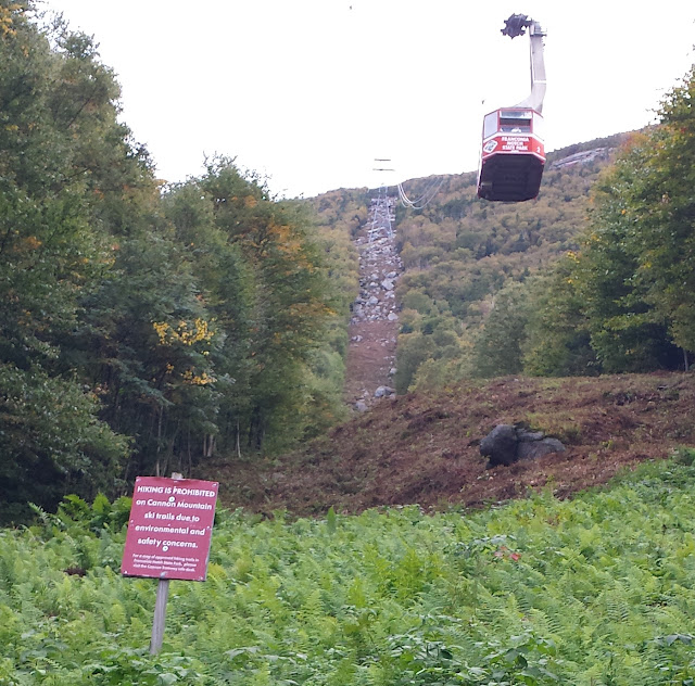
"HIKING IS PROHIBITED"
DISCOVERY:
Since June 2016, I've earned the great fortune of living in Thornton, NH. I've worked in Franconia, which by default means a twice-daily commute through the notorious Franconia Notch.
The Notch has it's own weather system. On any given day you can see weather that's 180 degrees opposite from that which is occurring just minutes to the North or South. Despite the risky travel, the views offered by the Notch are spectacular. I've discovered so many great, unusual, hikes in the Notch.
Often
times, my favorite hikes end up being the ones that I've dwelt upon,
scanned, and researched for months.
Such is the case with 'DJ's Tram.'
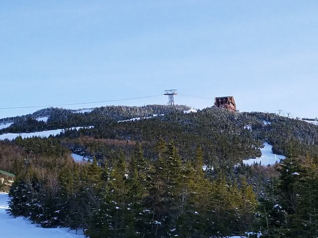
Heading North on NH Route 93, just as you pass the Cannon Cliffs and Profile Lake, I couldn't help but notice a straight cut into the Earth, beginning at the base of the Cannon Tram, ascending straight, like a laser, to the higher sub-summit of Cannon Mountain.
 |
| Dj's Tramline. |
To the casual observer, this line might present as nothing more than a path below a random gondola, but for the curious hiker, the gondola quickly faded from view as the giant boulder-laden path underneath came into focus.
This steep linear path up Cannon is called 'DJ's Tram.'
HISTORY:
Cannon Mountain is home to the only aerial tram in New Hampshire. The trail for the tram, considered the most direct route to the summit of Cannon, was cut in 1938. As depicted in the historical image below, the original tram-line was built upon a rugged bed of stone and boulder, part man-made, part natural. Today, a new Cannon tram ascends the same route to the summit, but just north of the original tram-line by 20-30 feet.
In 1980 the tram-line was named 'DJ's Tram-line,' becoming an official ski-trail of Cannon Mountain. Today, DJ's continues to offer expert ski terrain via several steep cliff-steps, but is rarely open due to insufficient snow needed to cover the massive boulders resting on the trail.
There was only one question in my mind: Was it possible to hike DJ's?
HIKING DJ'S:
This blog attempts to detail 3 separate ascents of DJ's Tram-line. The first ascent occurred on September 26th, 2016, my first solo ascent in the Fall. The second ascent occurred with my wife Alexandria in April, 2017, after the ski slopes had officially closed in the Spring. The 3rd and most recent attempt happened on November 20th, 2017, just as Winter was about to kick in.
My intent with this blog is to capture the intensity, uniqueness, and challenge that this ascent offers to avid hikers, at different times of the year. It's by far one of my favorite 'go-to' spots. Enjoy!!!
DJ'S IN SEPTEMBER:
I have to be honest. The first time I ascended DJ's, the 'HIKING PROHIBITED' sign intimidated me a bit. The sign sits at the base of DJ's, just beyond the lower Tram building.
When I arrived, I approached the sign in order to get a closer look at the ascent and a better idea of the terrain. I quickly decided to begin the ascent by bushwhacking up from the start of the Kinsman Ridge Trail, just south of DJ's, hopefully high enough to avoid any trouble at the base.
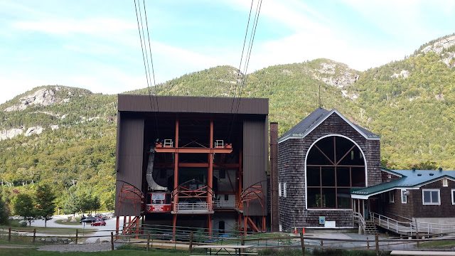 |
| Looking back at the Tram Base Station, from the 'HIKING IS PROHIBITED' sign. |
 |
| A road leading north, away from the start of the Kinsman Ridge Trail. I would follow toward the actual Tram-line. |
 |
| The forest is open and easy to traverse. |
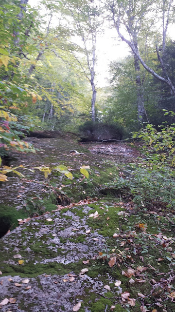 |
| I decide to follow a wet ledge up 100 yards or so in order to gain elevation away from the Base Station. |
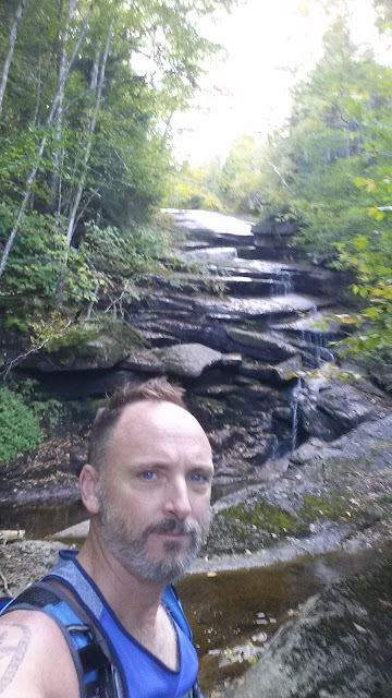 |
| The ledge path eventually leads to a beautiful cascade. |
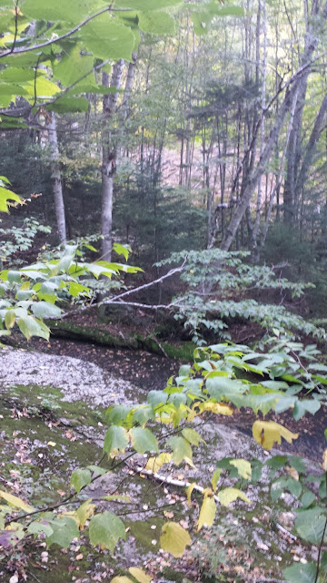 |
| In the distance I finally spy the Tram-line. |
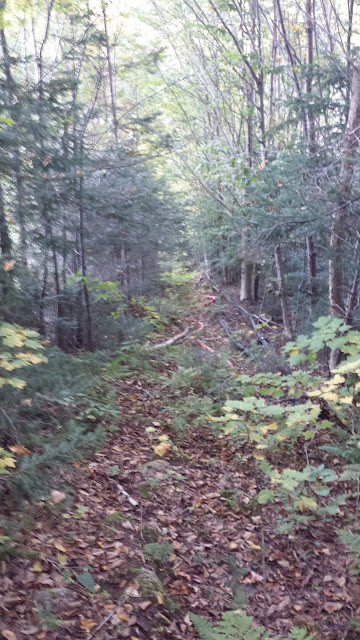 |
| Just before I break out onto DJ's, I discover a parallel path, perhaps 6 feet wide, running up along DJ's. This path serves as a conduit for numerous electrical and snow-making pipes. As I ascend DJ's I occasionally head into this path in order to avoid impassable boulders. |
 |
| Breaking out of my Kinsman Ridge Trail bushwhack, I finally see the ascent before me. |
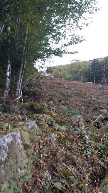 |
| The lower portion of DJ's is a mixture of small boulders and wet, mossy vegetation. Each step soaks your boots, as you sink several inches. |
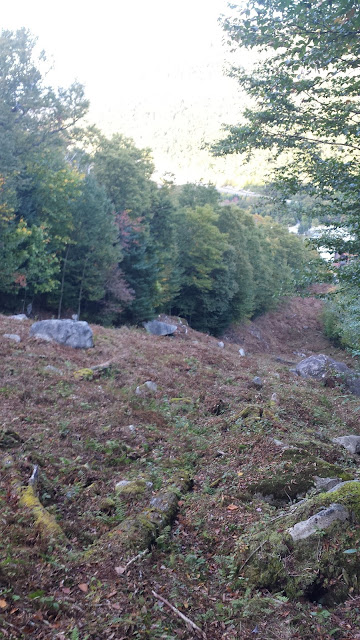 |
| A few hundred yards away from the Tram Base. The earth remains damp, with rotten timber everywhere. |
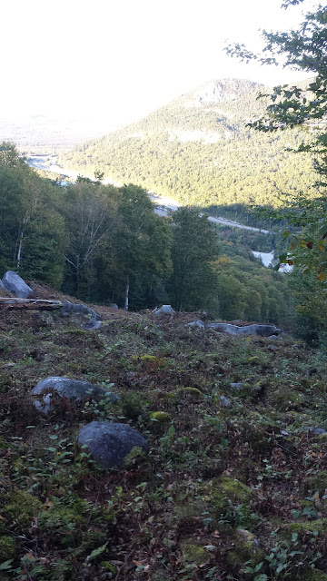 |
| The view begins to pop as the boulders begin to grow in size. |
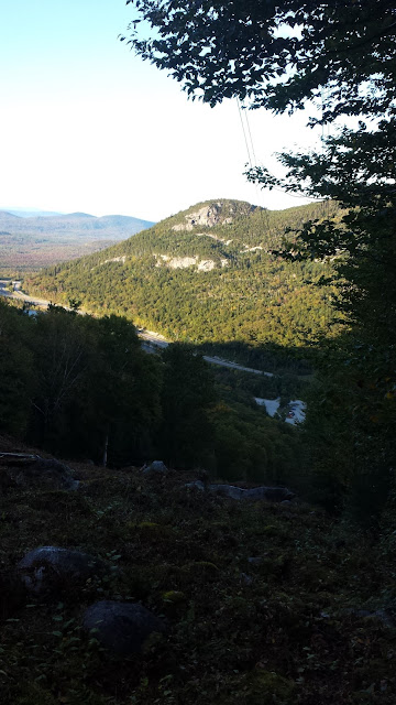 |
| The northern aspect of Eagle Cliff, the Eaglet and The Watcher. |
 |
| Tram cables above. |
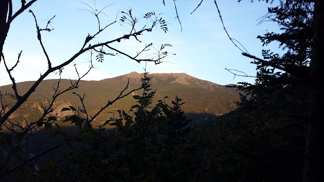 |
| Franconia ridge becomes visible as I gain elevation. |
 |
| The cables continue their ascent as well, tucked out of the view of the Tram-tourists occasionally gliding past. |
 |
| Tower 1 comes into view. |
 |
| Tower 1 |
 |
| Tower 1, with Echo Lake far below. |
 |
| The shade of night drifts slowly up toward the Franconia Ridge, with a beautiful alpen glow beginning to form. |
 |
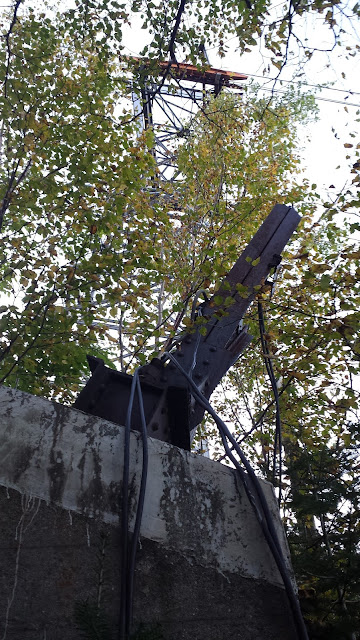
| As I'm a few hundred yards above Tower 1, I skirt back South, into the power cable path. I discover the historical foundations and original remaining skeletons of the first Tram towers. |
 |
| History!!!!!!!! |
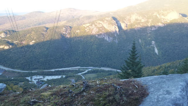 |
| Approaching Tower 2, a large cliff step must be climbed. This is the view from above that step. |
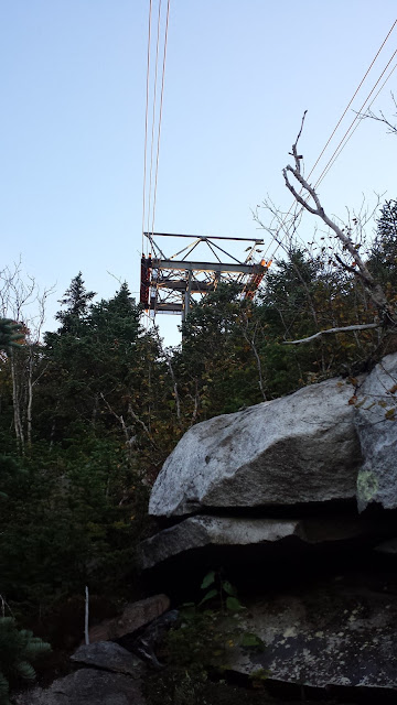 |
| Tower 2 is seen just out of reach beyond a massive rock and vegetation wall. |
 |
| I bushwhack up and over to Tower 2, then decide to backtrack in order to continue following DJ's Tram-line to it's end. |
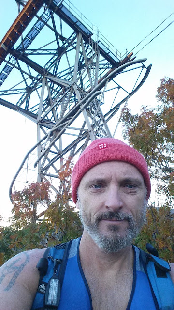 |
| Tower 2 |
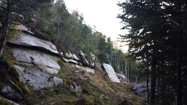 |
| The is the abrupt stop at the point just below Tower 2. One must cut left, or South, once you hit this wall. DJ's continues up to the left. |
 |
| Finally, I reach the start of DJ's. |
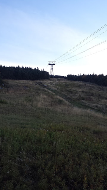 |
| Tower 3 is up above, then one reaches the upper Tram Station. |
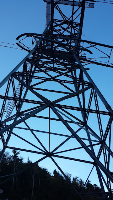 |
| Tower 3 |
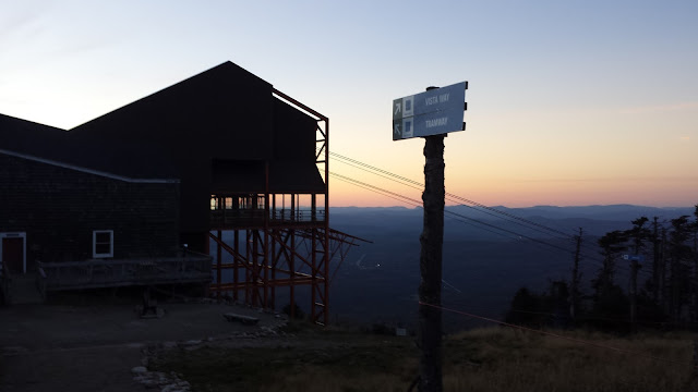 |
| A well-deserved sunset. |
 |
| Passing tower 3 on the way back down. |
DJ'S IN EARLY SPRING:
This is the 2nd ascent up DJ's. This time the snow of late Winter / early Spring covered the lush vegetation and stone. I was accompanied by my brave wife who is always up for a new challenge. We started in late afternoon, but at this time of the year the sun sets late. The plan was to ascend DJ's then have an epic buttsled to the bottom. I had previously buttsledded down Cannon's black diamonds trails. It's epic, and certainly the quickest way back to the base for a hiker.
The 'HIKING IS PROHIBITED' sign was nowhere to be seen, so we decided just to head straight up from the base station proper, skipping the bushwhack from Kinsman Ridge Trail. Presumably, the sign is removed for skier safety during the Winter months. Skier safety is apparently a loosely defined concept figuring that the skiers at risk of hitting the sign just descended on of the 'TOP 10 GNARLIEST' ski trails.
 |
| Ready to go! It's a beautiful Spring afternoon. |
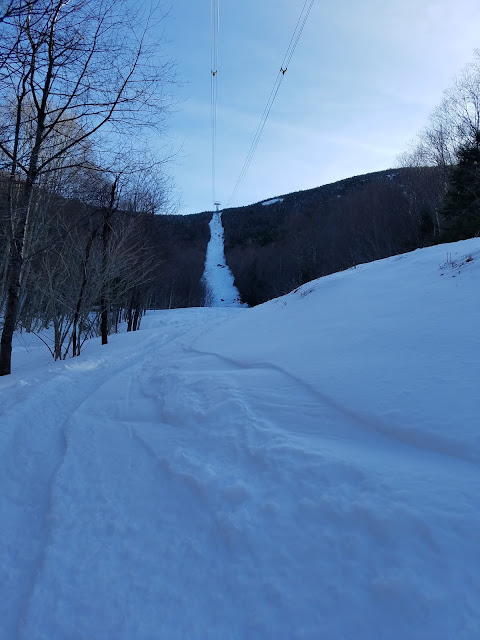 |
| Ski and snowboard tracks line DJ's but the snow is deep and powdery. For much of the ascent we follow these tracks but still sink up to our knees with each step. |
 |
| Inch by inch. |
 |
| Tower 1 and 2 ahead. |
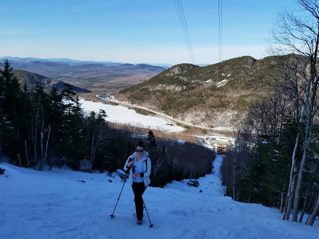 |
| All smiles....for the moment. |
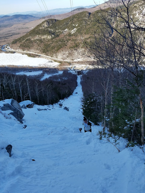 |
| The slope gets steeper. The snow gets deeper. The stones get bigger. |
 |
| A maze of large boulders and deep snow. Postholes take you to you waste. |
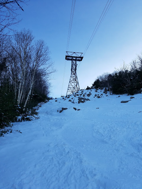 |
| Tower 1. |
 |
| Tower 1 and 2. |
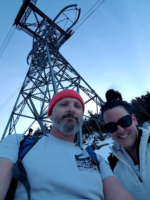 |
| After considerable work breaking trail, we make Tower 1. |
 |
| The ascent becomes steeper again, with deeper pockets of natural and man-made snow. |
 |
| Eagle Ridge. |
 |
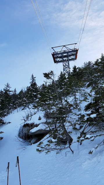
| A snow-covered Franconia Ridge. |
 |
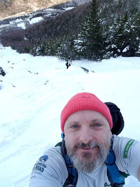
| I finally make it to the top of the ascent where you are forced to cut left following DJ's. |
 |
| She's killing it !!!! |
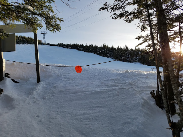 |
| Yay! The end of the line. |
 |
| Ice Queen crushed another unique hike! |
 |
| Another well-deserved sunset! |
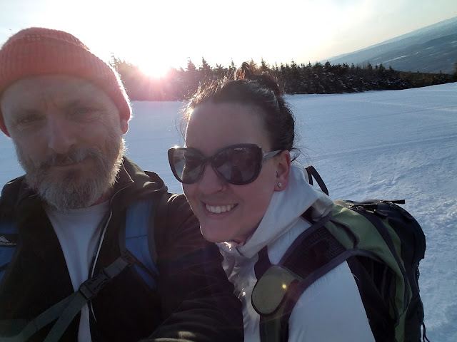 |
| Koba and Ice Queen. |
 |
| We forego the summit in order to get our buttsled on. |
 |
| I think we reached the bottom in record time. So much fun buttsledding down thousands of feet of groomed snow. |
DJ'S APPROACHING WINTER:
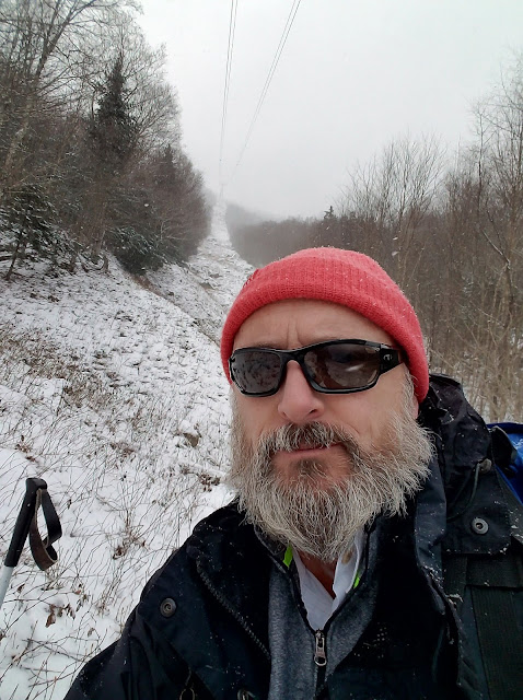
Late Spring meets early Winter, posing a new complicated mix of slick terrain. There is plenty of deep wet vegetation covered in a thin layer of snow and ice. Every step could be a disaster. As you ascend DJ's, the deep holes between the ever-growing boulders become hidden, waiting to sprain your ankle, or break your leg.
 |
| A lightly covered DJ's. |
 |
| Ready to go! |
 |
| Gnarly hiking terrain. |
 |
| There really is no easy path up the route. |
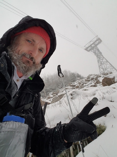 |
| Almost at Tower 1. |
 |
| Tower 1, check! |
 |
| I leave tower 1 below, and head toward tower 2. |
 |
| The last push before Tower 2. |
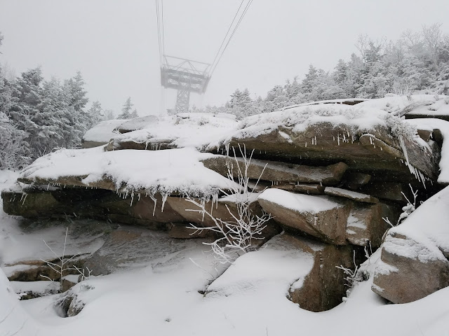 |
| Another maze of sketchy boulder. |
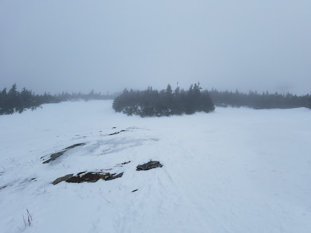 |
| I break out onto the ski trails, but the weather degrades quickly. I decide to continue up the slopes. |
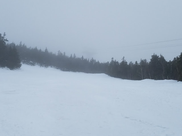 |
| Poor visibility, and worsening. Tower 3 is barely visible. |
 |
| The ghost of Tower 3. |
 |
| Conditions worsen, with a thick freezing rain. |
 |
| Nearing the bottom. It was a good hike! |
